Transport Functions
Port
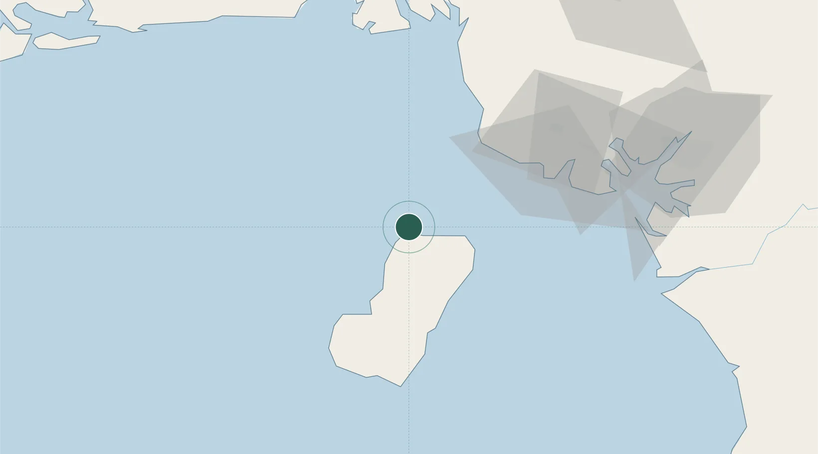
Location
Nearby Logistics Neighbours
Cities
- 1Malabo7 km
- 2Moudi Terminal45 km
- 3Limbe61 km
- 4Zafiro Terminal62 km
- 5Antan66 km
Ports
- 1Malabo8 km
- 2Luba36 km
- 3Moudi Marine Terminal45 km
- 4Limboh Terminal53 km
- 5Kole Oil Terminal55 km
Airports
Trade Zones
- 1K5 Oil Centre4 km
- 2Luba Freeport39 km
- 3Ibom Industrial City Free Zone99 km
- 4Bonaberi-Douala Industrial Zone112 km
- 5Bassa-Douala Industrial Zone118 km
DatabookThe Record of Consolidated Knowledge
Equatorial Guinea beyond logistics?