Transport Functions
Port
Road
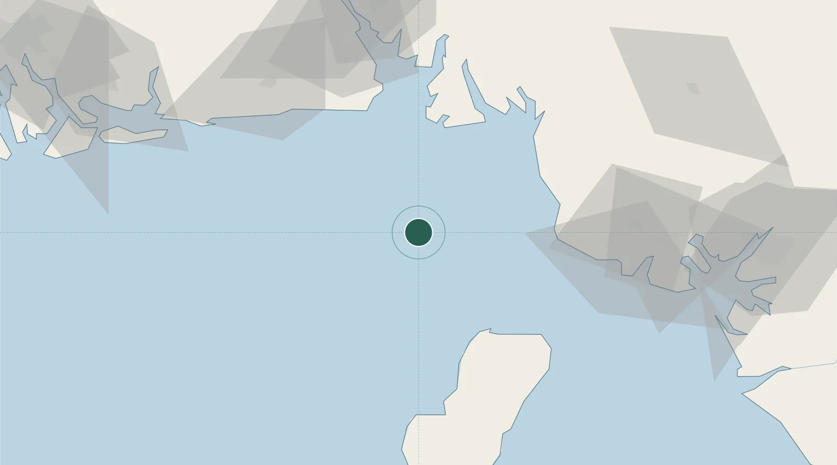
Location
Nearby Logistics Neighbours
Cities
- 1Antan22 km
- 2Punta Europa Terminal45 km
- 3Zafiro Terminal46 km
- 4Malabo51 km
- 5Serpentina Terminal57 km
Ports
- 1Kole Oil Terminal17 km
- 2Antan Oil Terminal20 km
- 3Punta Europa Terminal45 km
- 4Qua Iboe Oil Terminal52 km
- 5Malabo53 km
Airports
Trade Zones
- 1K5 Oil Centre49 km
- 2Ibom Industrial City Free Zone54 km
- 3Luba Freeport73 km
- 4Calabar Free Trade Zone102 km
- 5Tinapa Free Zone & Resort106 km
DatabookThe Record of Consolidated Knowledge
Cameroon beyond logistics?