Transport Functions
Port
Airport
Hub Profile
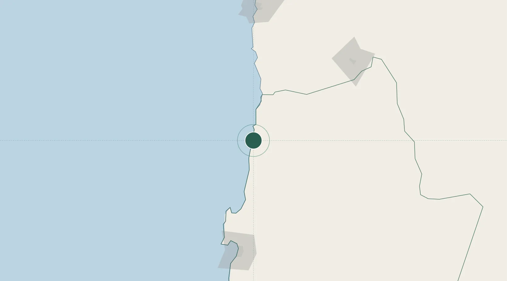
Place type
Provincial seat
Region
Antofagasta
Population
25,400
Time zone
America/Santiago
Elevation
37 m
Location
Nearby Logistics Neighbours
Cities
- 1Michilla73 km
- 2Pedro de Valdivia78 km
- 3Puerto Angamos115 km
- 4Mejillones116 km
- 5Sierra Gorda127 km
Ports
- 1Mejillones117 km
- 2Caleta Patillos150 km
- 3Antofagasta176 km
- 4Iquique209 km
- 5Taltal370 km
Airports
- 1Barriles Airport14 km
- 2El Loa Airport140 km
- 3Andrés Sabella Gálvez International Airport154 km
- 4Diego Aracena International Airport172 km
- 5Las Breas Airport388 km
Trade Zones
DatabookThe Record of Consolidated Knowledge
Chile beyond logistics?