Transport Functions
Rail
Road
Hub Profile
Place type
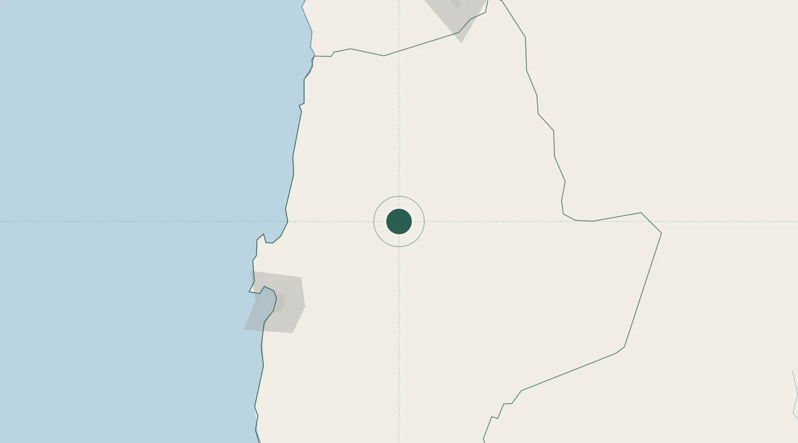
Populated place
Region
Antofagasta
Population
1,069
Time zone
America/Santiago
Elevation
1,626 m
Location
Nearby Logistics Neighbours
Cities
- 1Pedro de Valdivia49 km
- 2Calama65 km
- 3Michilla99 km
- 4Puerto Angamos113 km
- 5Mejillones118 km
Ports
- 1Mejillones120 km
- 2Tocopilla131 km
- 3Antofagasta140 km
- 4Caleta Patillos258 km
- 5Taltal302 km
Airports
- 1El Loa Airport62 km
- 2Barriles Airport114 km
- 3Andrés Sabella Gálvez International Airport130 km
- 4Diego Aracena International Airport278 km
- 5Las Breas Airport315 km
Trade Zones
DatabookThe Record of Consolidated Knowledge
Chile beyond logistics?