Diversified Zone · Côte d’Ivoire
Yamoussoukro Industrial Park Active
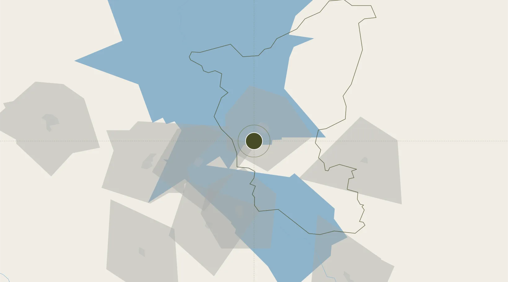
6.7587°, -5.3139°
250 ha
Zone area
212.7 km
Nearest port
17.0 km
Nearest airport
Gateway access
Zone profile
Zone type
Diversified Zone
Region
Lacs
Status
Active
Management
Public
Operator
Agency for the Management and Development of Industrial Infrastructure, National Fund for the Development of Industrial Zones
Legal framework
Law No. 2004-429 of 30 August 2004
Location
Nearby Logistics Neighbours
Ports
- 1Espoir Marine Terminal213 km
- 2Baobab Marine Terminal216 km
- 3Abidjan221 km
- 4Port Bouet226 km
- 5San Pedro267 km
Airports
- 1Yamoussoukro International Airport17 km
- 2Bouaké Airport112 km
- 3Daloa Airport128 km
- 4Félix-Houphouët-Boigny International Airport226 km
- 5Man Airport257 km
Cities
- 1Gbabam147 km
- 2Agboville152 km
- 3Ijebu Ode153 km
- 4Grand Lahou184 km
- 5Fresco188 km
Trade Zones
- 1Bouaké Economic Zone111 km
- 2PK 24 Industrial Park197 km
- 3Vridi Industrial Park221 km
- 4Koumassi Industrial Park223 km
- 5Mahatma Ghandi Free Trade Zone242 km
DatabookThe Record of Consolidated Knowledge
Côte d’Ivoire beyond logistics?