Transport Functions
Multimodal
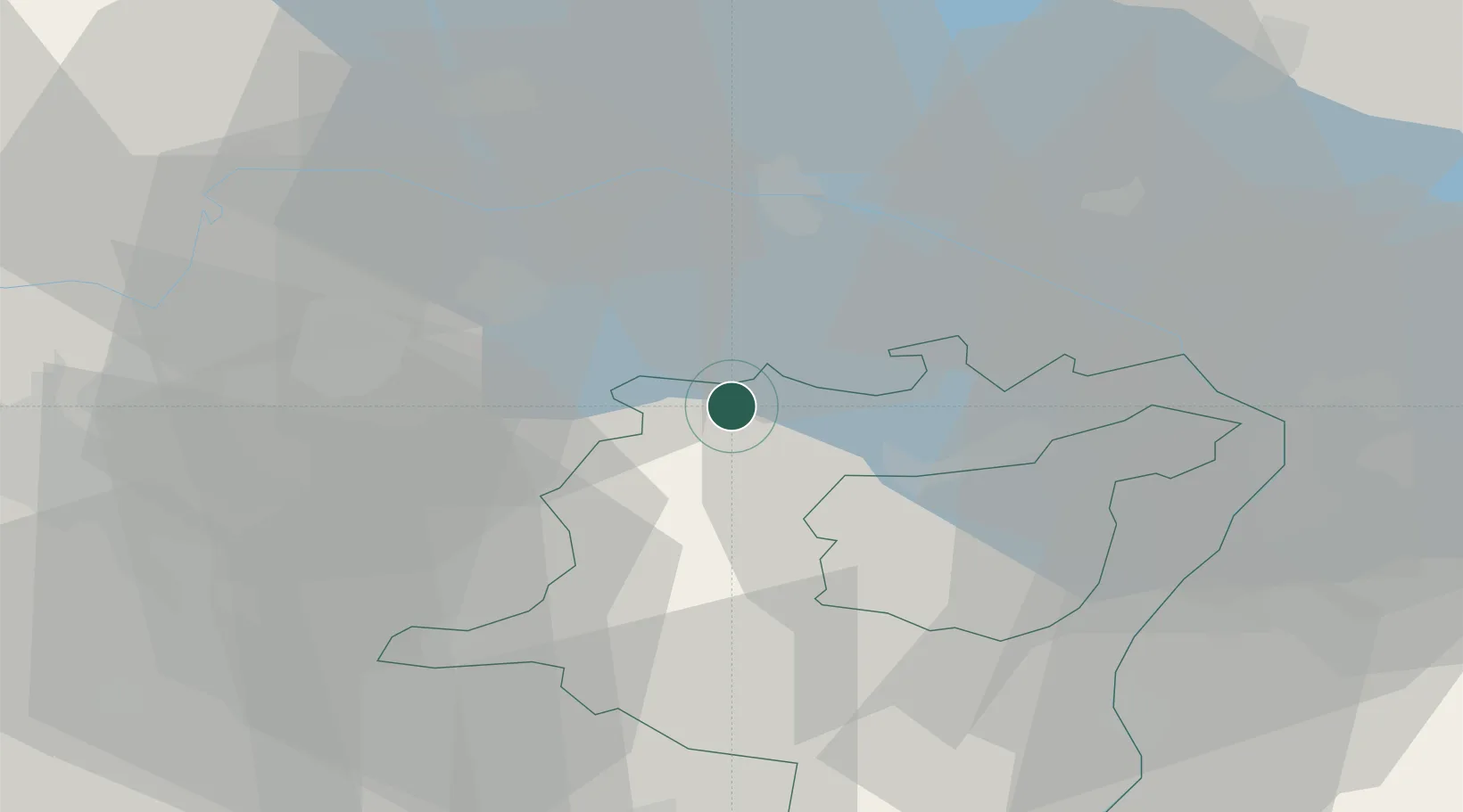
Hub Profile
Place type
Populated place
Region
Saint Gallen
Population
4,226
Time zone
Europe/Zurich
Elevation
533 m
Location
Nearby Logistics Neighbours
Cities
- 1Niederuzwil4 km
- 2Oberbüren4 km
- 3Männedorf6 km
- 4Bronschhofen7 km
- 5Flawil8 km
Ports
- 1Porto Di Lido-Venezia341 km
- 2Genova342 km
- 3Porto Di Chioggia348 km
- 4Chiavari - Lavagna352 km
- 5Savona354 km
Airports
Trade Zones
- 1Livigno Free Trade Zone128 km
- 2ZFU Mulhouse137 km
- 3ZFU Neuhof156 km
- 4ZFU Hautepierre164 km
- 5ZFU Belfort175 km
DatabookThe Record of Consolidated Knowledge
Switzerland beyond logistics?