Transport Functions
Rail
Road
Hub Profile
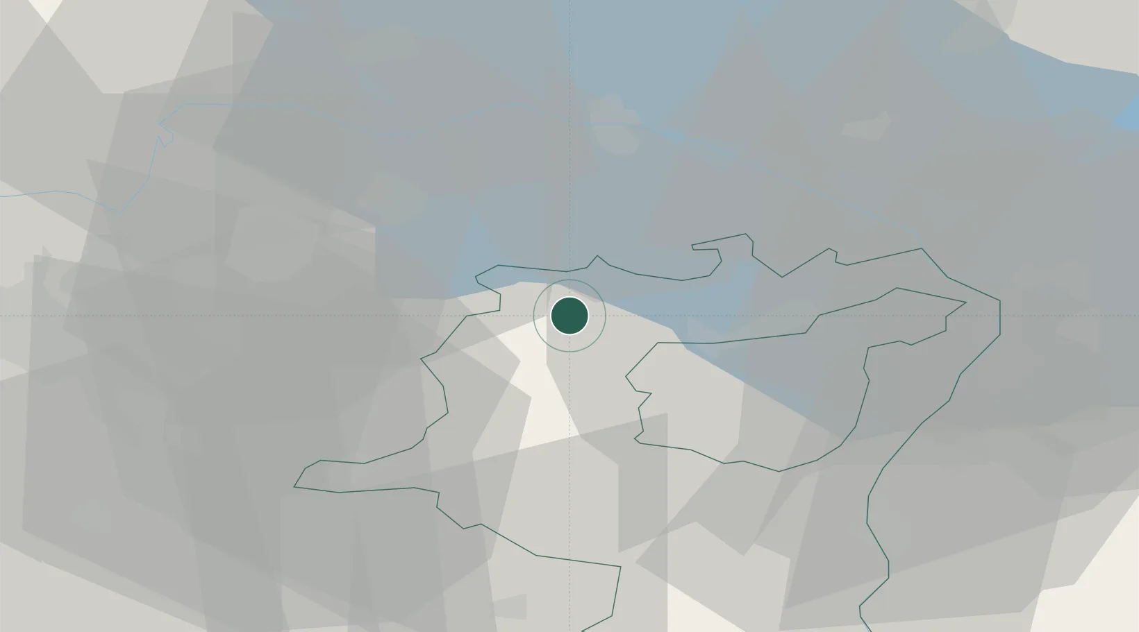
Place type
Populated place
Region
Saint Gallen
Time zone
Europe/Zurich
Elevation
514 m
Location
Nearby Logistics Neighbours
Ports
- 1Genova338 km
- 2Porto Di Lido-Venezia339 km
- 3Porto Di Chioggia346 km
- 4Chiavari - Lavagna348 km
- 5Savona350 km
Airports
Trade Zones
- 1Livigno Free Trade Zone125 km
- 2ZFU Mulhouse138 km
- 3ZFU Neuhof159 km
- 4ZFU Hautepierre167 km
- 5ZFU Belfort175 km
DatabookThe Record of Consolidated Knowledge
Switzerland beyond logistics?