Transport Functions
Multimodal
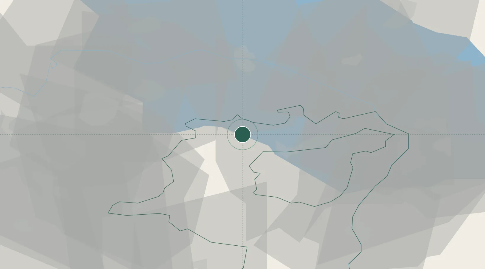
Hub Profile
Place type
Populated place
Region
Saint Gallen
Time zone
Europe/Zurich
Elevation
492 m
Location
Nearby Logistics Neighbours
Cities
- 1Flawil4 km
- 2Zuzwil4 km
- 3Niederuzwil4 km
- 4Männedorf5 km
- 5Sitterdorf8 km
Ports
- 1Porto Di Lido-Venezia337 km
- 2Genova340 km
- 3Porto Di Chioggia344 km
- 4Chiavari - Lavagna350 km
- 5Savona352 km
Airports
Trade Zones
- 1Livigno Free Trade Zone124 km
- 2ZFU Mulhouse141 km
- 3ZFU Neuhof160 km
- 4ZFU Hautepierre168 km
- 5ZFU Belfort179 km
DatabookThe Record of Consolidated Knowledge
Switzerland beyond logistics?