UN/LOCODE hub · Switzerland
CHBRO
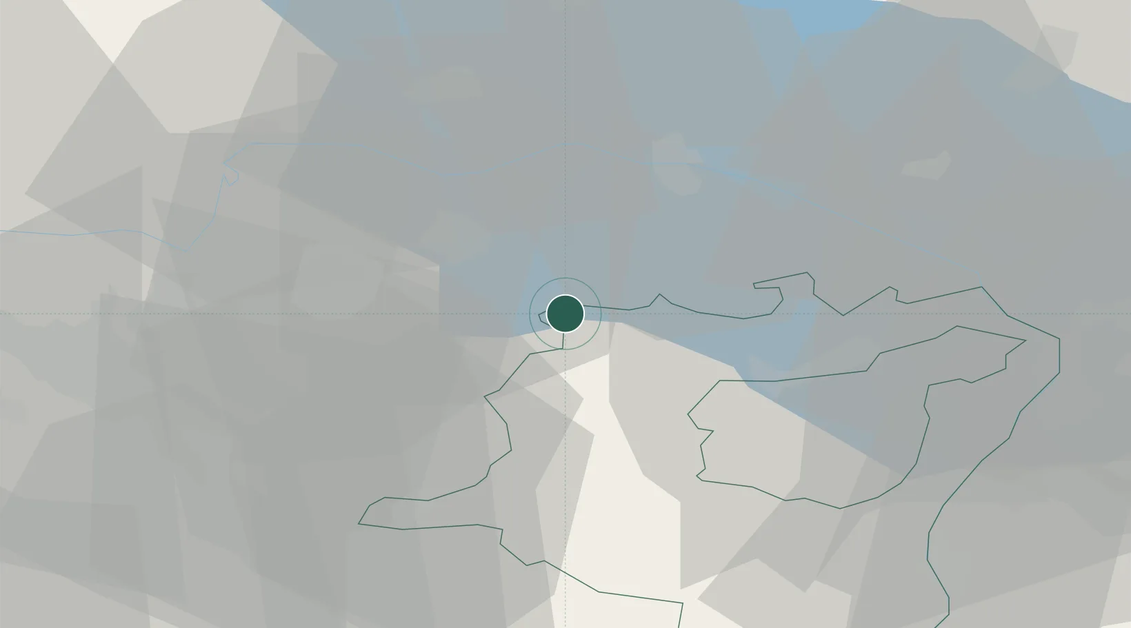
Bronschhofen
47.4833°, 9.0333°
4,489
Population
2
Transport functions
Transport Functions
Rail
Road
Hub Profile
Place type
Populated place
Region
Saint Gallen
Population
4,489
Time zone
Europe/Zurich
Elevation
566 m
Location
Nearby Logistics Neighbours
Cities
- 1Bettwiesen1 km
- 2Tägerschen2 km
- 3Sirnach3 km
- 4Affeltrangen4 km
- 5Tobel4 km
Ports
- 1Genova343 km
- 2Porto Di Lido-Venezia347 km
- 3Porto Di Chioggia354 km
- 4Chiavari - Lavagna354 km
- 5Savona355 km
Airports
Trade Zones
- 1ZFU Mulhouse131 km
- 2Livigno Free Trade Zone133 km
- 3ZFU Neuhof151 km
- 4ZFU Hautepierre159 km
- 5ZFU Belfort168 km
DatabookThe Record of Consolidated Knowledge
Switzerland beyond logistics?