Transport Functions
Rail
Road
Hub Profile
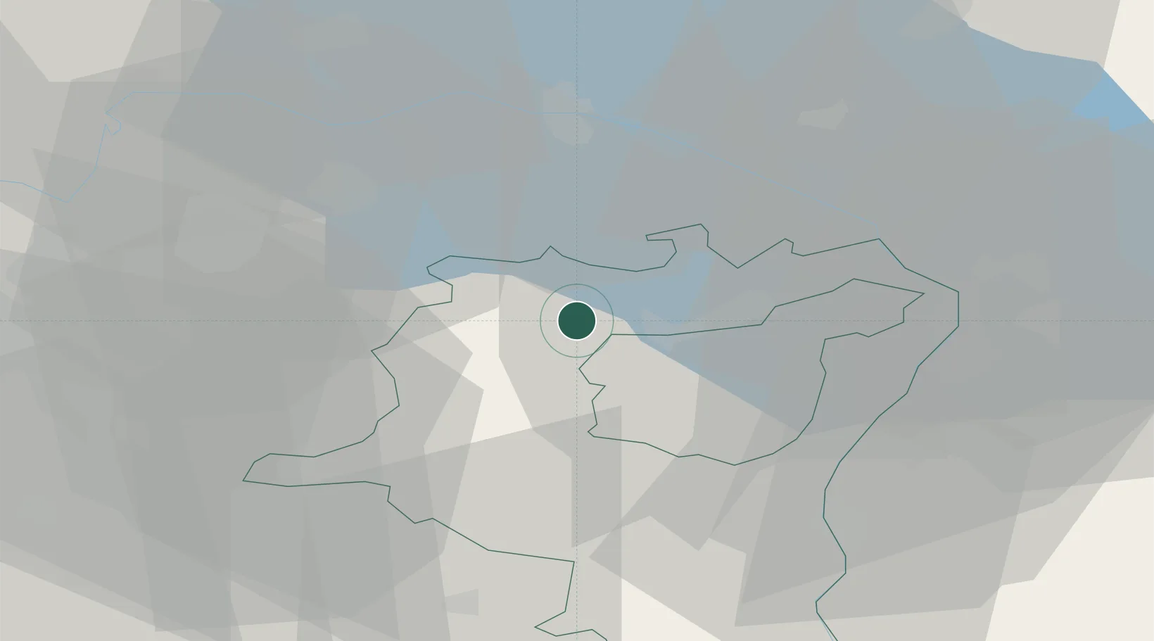
Place type
Populated place
Region
Saint Gallen
Population
9,739
Time zone
Europe/Zurich
Elevation
621 m
Location
Nearby Logistics Neighbours
Cities
- 1Männedorf4 km
- 2Oberbüren4 km
- 3Niederuzwil5 km
- 4Zuzwil8 km
- 5Bazenheid9 km
Ports
- 1Porto Di Lido-Venezia334 km
- 2Genova336 km
- 3Porto Di Chioggia341 km
- 4Chiavari - Lavagna346 km
- 5Savona349 km
Airports
Trade Zones
- 1Livigno Free Trade Zone120 km
- 2ZFU Mulhouse143 km
- 3ZFU Neuhof164 km
- 4ZFU Hautepierre172 km
- 5Magazzini Generali Con Chiasso176 km
DatabookThe Record of Consolidated Knowledge
Switzerland beyond logistics?