Transport Functions
Port
Rail
Road
Hub Profile
Region
ZH
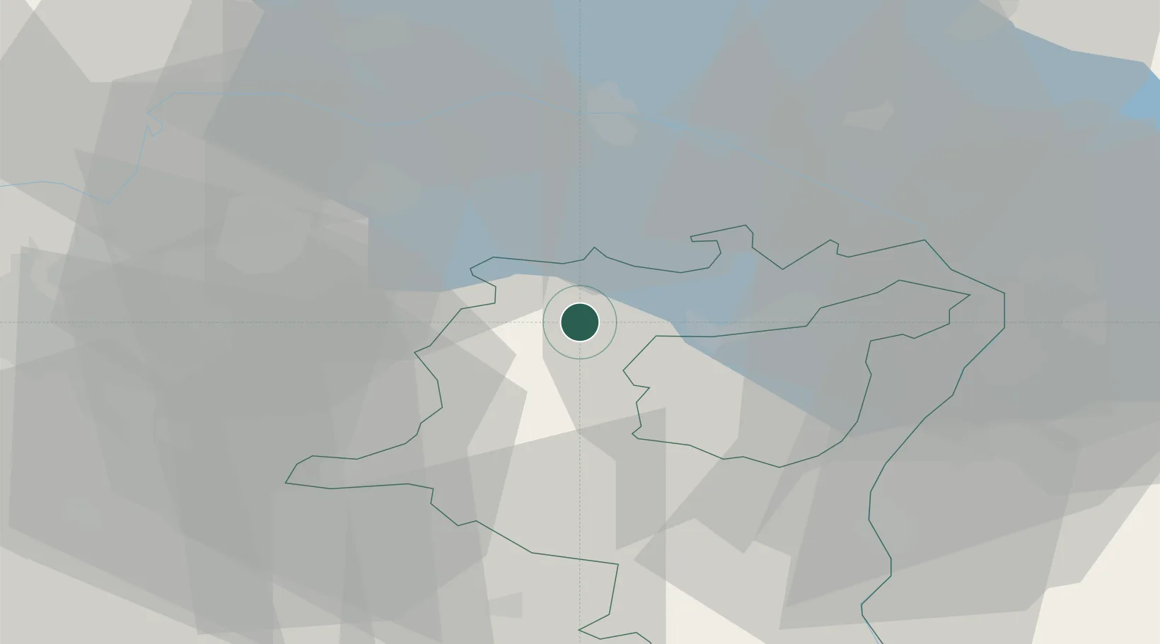
Location
Nearby Logistics Neighbours
Cities
- 1Niederuzwil2 km
- 2Flawil4 km
- 3Oberbüren5 km
- 4Bazenheid5 km
- 5Zuzwil6 km
Ports
- 1Genova336 km
- 2Porto Di Lido-Venezia337 km
- 3Porto Di Chioggia344 km
- 4Chiavari - Lavagna346 km
- 5Savona348 km
Airports
- 1Sankt Gallen Altenrhein Airport33 km
- 2Dübendorf Air Base37 km
- 3Bodensee Airport Friedrichshafen40 km
- 4Zürich Airport44 km
- 5Emmen Air Base72 km
Trade Zones
- 1Livigno Free Trade Zone123 km
- 2ZFU Mulhouse140 km
- 3ZFU Neuhof161 km
- 4ZFU Hautepierre169 km
- 5Magazzini Generali Con Chiasso175 km
DatabookThe Record of Consolidated Knowledge
Switzerland beyond logistics?