Transport Functions
Multimodal
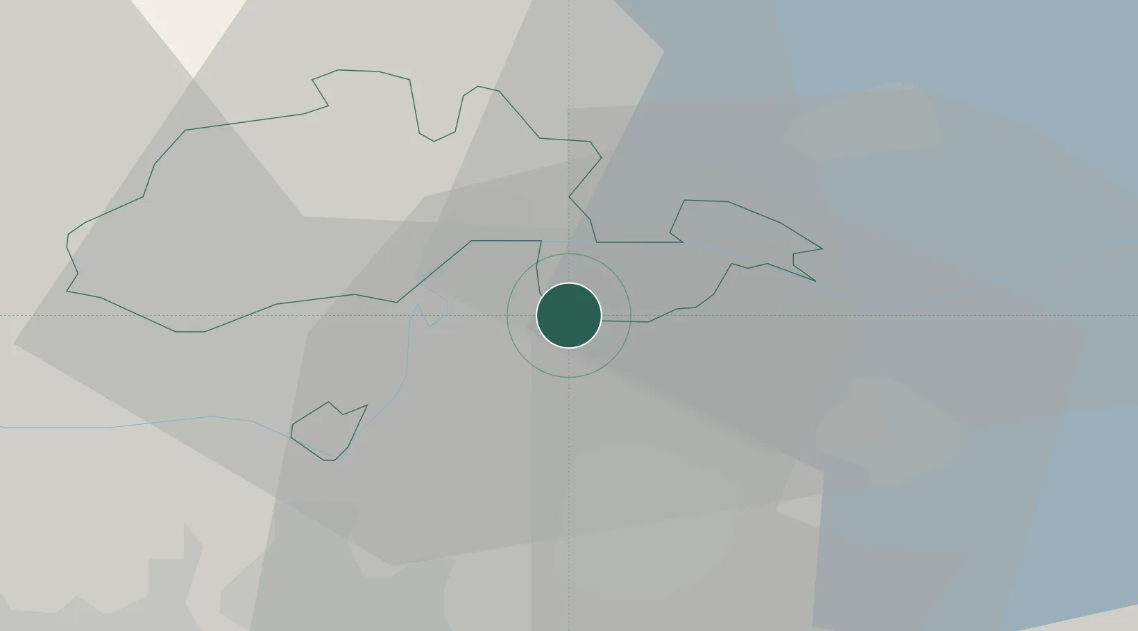
Hub Profile
Place type
Populated place
Region
Thurgau
Time zone
Europe/Zurich
Elevation
416 m
Location
Nearby Logistics Neighbours
Cities
- 1Flurlingen6 km
- 2Neuhausen am Rheinfall7 km
- 3Andelfingen8 km
- 4Jestetten10 km
- 5Hettlingen11 km
Ports
- 1Genova362 km
- 2Savona371 km
- 3Chiavari - Lavagna375 km
- 4Rada Di Vado377 km
- 5Porto Di Lido-Venezia378 km
Airports
Trade Zones
- 1ZFU Mulhouse103 km
- 2ZFU Neuhof121 km
- 3ZFU Hautepierre129 km
- 4ZFU Belfort142 km
- 5ZFU Montbéliard144 km
DatabookThe Record of Consolidated Knowledge
Switzerland beyond logistics?