UN/LOCODE hub · Switzerland
CHNHR

Neuhausen am Rheinfall

47.6833°, 8.6167°
2
Transport functions

Transport Functions

Road
Multimodal
UN/LOCODE

Hub Profile

Region
SH
GeoNames

Location

Location of CHNHR
Natural Earth 10m (public domain) · SH · CHNHR · 47.68, 8.62GoogleOSMYandex

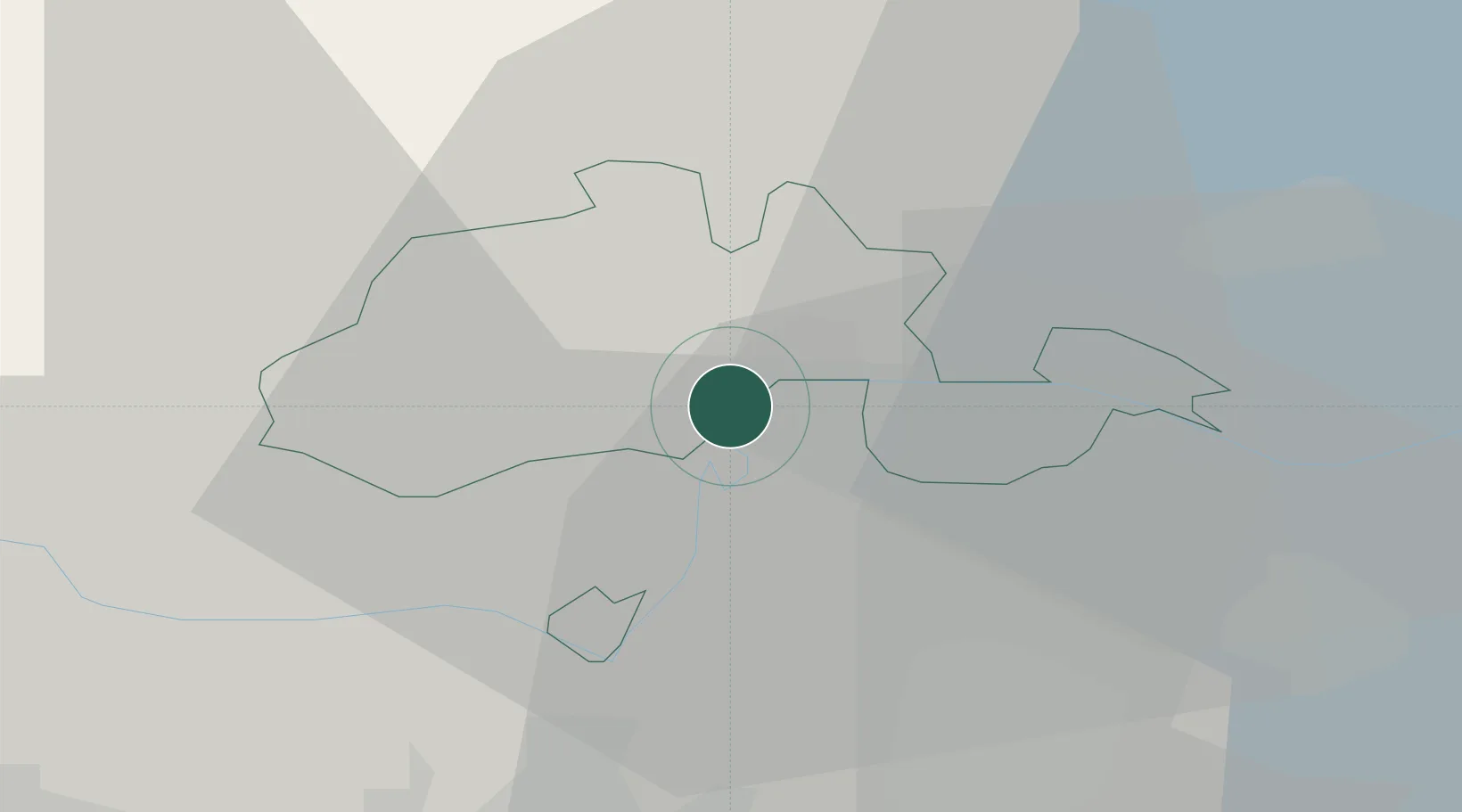
Nearby Logistics Neighbours

Cities
  1. 1Flurlingen1 km
  2. 2Beringen4 km
  3. 3Jestetten5 km
  4. 4Schlatt7 km
  5. 5Neunkirch10 km
Nearest neighbours — logibook spatial index (haversine) over the source coordinates
Ports
  1. 1Genova366 km
  2. 2Savona375 km
  3. 3Chiavari - Lavagna380 km
  4. 4Rada Di Vado380 km
  5. 5Porto Di Lido-Venezia386 km
Nearest neighbours — logibook spatial index (haversine) over the source coordinates
Airports
  1. 1Zürich Airport26 km
  2. 2Dübendorf Air Base32 km
  3. 3Donaueschingen-Villingen Airfield33 km
  4. 4Bodensee Airport Friedrichshafen67 km
  5. 5Emmen Air Base70 km
Nearest neighbours — logibook spatial index (haversine) over the source coordinates
Trade Zones
  1. 1ZFU Mulhouse96 km
  2. 2ZFU Neuhof114 km
  3. 3ZFU Hautepierre122 km
  4. 4ZFU Belfort136 km
  5. 5ZFU Montbéliard139 km
Nearest neighbours — logibook spatial index (haversine) over the source coordinates
DatabookThe Record of Consolidated Knowledge
Switzerland beyond logistics?
Browse databook

All Sources

LocationsUN/LOCODE
UN/LOCODE — free
Portsthe NGA World Port Index
Public domain (US gov)
AirportsOurAirports
Public domain
Trade Zonesthe World Bank SEZ database
CC BY 4.0
Trade ZonesOpen Zone Map
CC BY
← Switzerland locations