Transport Functions
Rail
Road
Hub Profile
Place type
Populated place
Region
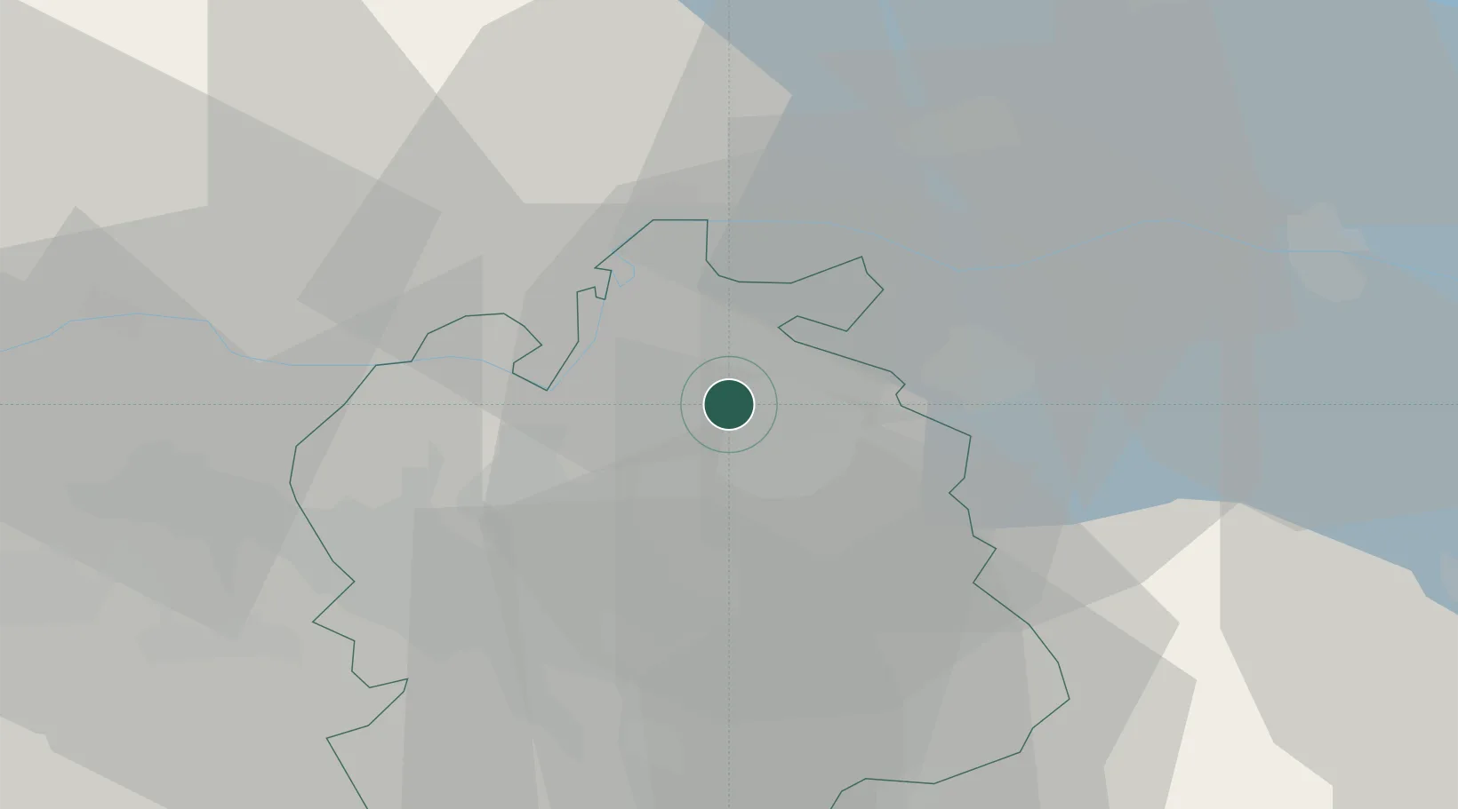
Zurich
Population
2,221
Time zone
Europe/Zurich
Elevation
428 m
Location
Nearby Logistics Neighbours
Cities
- 1Seuzach2 km
- 2Andelfingen4 km
- 3Dinhard5 km
- 4Pfungen6 km
- 5Rickenbach-Attikon6 km
Ports
- 1Genova351 km
- 2Savona360 km
- 3Chiavari - Lavagna364 km
- 4Rada Di Vado366 km
- 5Porto Di Lido-Venezia371 km
Airports
- 1Zürich Airport15 km
- 2Dübendorf Air Base17 km
- 3Donaueschingen-Villingen Airfield49 km
- 4Emmen Air Base59 km
- 5Bodensee Airport Friedrichshafen62 km
Trade Zones
- 1ZFU Mulhouse105 km
- 2ZFU Neuhof130 km
- 3ZFU Hautepierre138 km
- 4ZFU Belfort142 km
- 5ZFU Montbéliard144 km
DatabookThe Record of Consolidated Knowledge
Switzerland beyond logistics?