Transport Functions
Multimodal
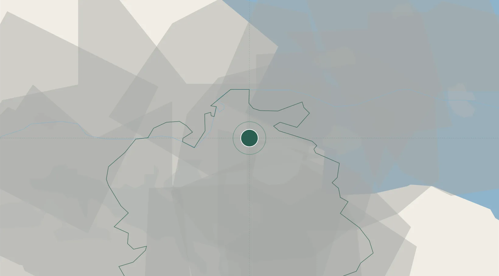
Hub Profile
Place type
Provincial seat
Region
Zurich
Population
1,328
Time zone
Europe/Zurich
Elevation
398 m
Location
Nearby Logistics Neighbours
Cities
- 1Hettlingen4 km
- 2Seuzach6 km
- 3Dinhard7 km
- 4Schlatt8 km
- 5Pfungen8 km
Ports
- 1Genova355 km
- 2Savona364 km
- 3Chiavari - Lavagna368 km
- 4Rada Di Vado369 km
- 5Porto Di Lido-Venezia375 km
Airports
- 1Zürich Airport17 km
- 2Dübendorf Air Base21 km
- 3Donaueschingen-Villingen Airfield45 km
- 4Emmen Air Base62 km
- 5Bodensee Airport Friedrichshafen63 km
Trade Zones
- 1ZFU Mulhouse103 km
- 2ZFU Neuhof127 km
- 3ZFU Hautepierre134 km
- 4ZFU Belfort141 km
- 5ZFU Montbéliard143 km
DatabookThe Record of Consolidated Knowledge
Switzerland beyond logistics?