Transport Functions
Rail
Road
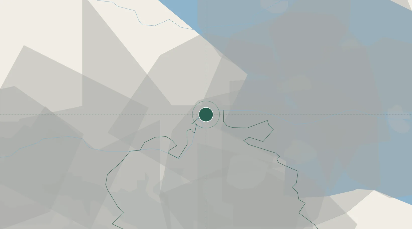
Hub Profile
Place type
Populated place
Region
Zurich
Population
1,221
Time zone
Europe/Zurich
Elevation
406 m
Location
Nearby Logistics Neighbours
Cities
- 1Neuhausen am Rheinfall1 km
- 2Beringen5 km
- 3Jestetten6 km
- 4Schlatt6 km
- 5Neunkirch11 km
Ports
- 1Genova366 km
- 2Savona375 km
- 3Chiavari - Lavagna379 km
- 4Rada Di Vado380 km
- 5Porto Di Lido-Venezia385 km
Airports
Trade Zones
- 1ZFU Mulhouse97 km
- 2ZFU Neuhof115 km
- 3ZFU Hautepierre123 km
- 4ZFU Belfort137 km
- 5ZFU Montbéliard140 km
DatabookThe Record of Consolidated Knowledge
Switzerland beyond logistics?