Transport Functions
Rail
Road
Border Crossing
Hub Profile
Place type
Local administrative seat
Region
Baden-Wurttemberg
Population
5,171
Time zone
Europe/Berlin
Elevation
429 m
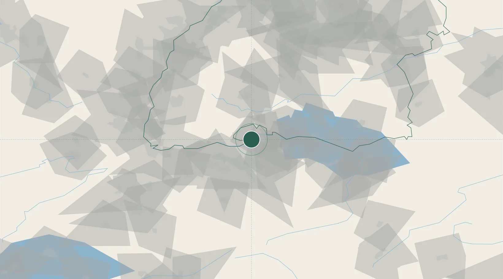
Location
Nearby Logistics Neighbours
Cities
- 1Neuhausen am Rheinfall5 km
- 2Beringen6 km
- 3Flurlingen6 km
- 4Neunkirch7 km
- 5Schlatt10 km
Ports
- 1Genova363 km
- 2Savona371 km
- 3Rada Di Vado377 km
- 4Chiavari - Lavagna377 km
- 5Porto Di Lido-Venezia386 km
Airports
- 1Zürich Airport21 km
- 2Dübendorf Air Base29 km
- 3Donaueschingen-Villingen Airfield36 km
- 4Emmen Air Base65 km
- 5Bodensee Airport Friedrichshafen71 km
Trade Zones
- 1ZFU Mulhouse93 km
- 2ZFU Neuhof116 km
- 3ZFU Hautepierre124 km
- 4ZFU Belfort132 km
- 5ZFU Montbéliard135 km
DatabookThe Record of Consolidated Knowledge
Germany beyond logistics?