Transport Functions
Rail
Road
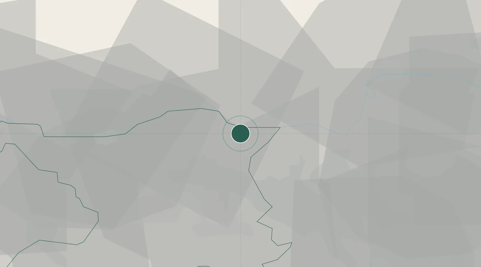
Hub Profile
Place type
Populated place
Region
Aargau
Population
856
Time zone
Europe/Zurich
Elevation
340 m
Logistics facilities
1
Location
Nearby Logistics Neighbours
Cities
- 1Bad Zurzach4 km
- 2Fisibach5 km
- 3Lengnau6 km
- 4Döttingen6 km
- 5Klingnau7 km
Ports
- 1Genova355 km
- 2Savona362 km
- 3Rada Di Vado367 km
- 4Chiavari - Lavagna371 km
- 5Porto Di Lido-Venezia394 km
Airports
- 1Zürich Airport20 km
- 2Dübendorf Air Base30 km
- 3Donaueschingen-Villingen Airfield47 km
- 4Emmen Air Base53 km
- 5EuroAirport Basel–Mulhouse–Freiburg61 km
Trade Zones
- 1ZFU Mulhouse78 km
- 2ZFU Belfort115 km
- 3ZFU Neuhof116 km
- 4ZFU Montbéliard117 km
- 5ZFU Hautepierre124 km
DatabookThe Record of Consolidated Knowledge
Switzerland beyond logistics?