Transport Functions
Road
Multimodal
Hub Profile
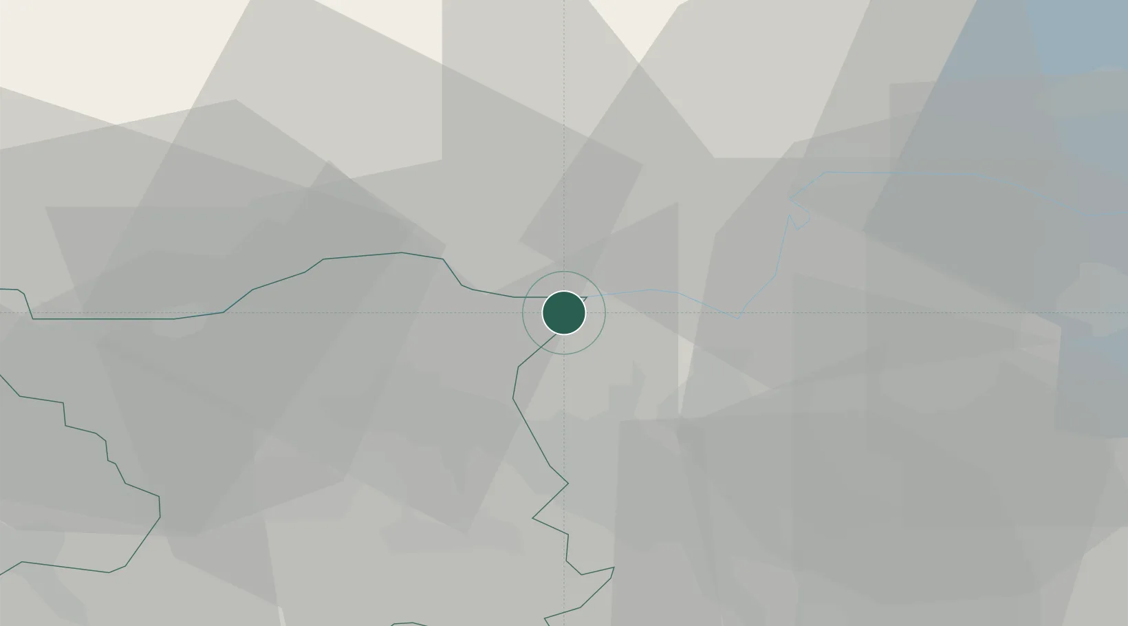
Place type
Populated place
Region
Aargau
Time zone
Europe/Zurich
Elevation
375 m
Location
Nearby Logistics Neighbours
Cities
- 1Rekingen5 km
- 2Lengnau8 km
- 3Bad Zurzach9 km
- 4Niederhasli11 km
- 5Trasadingen11 km
Ports
- 1Genova355 km
- 2Savona362 km
- 3Rada Di Vado367 km
- 4Chiavari - Lavagna370 km
- 5Porto Di Lido-Venezia390 km
Airports
- 1Zürich Airport16 km
- 2Dübendorf Air Base26 km
- 3Donaueschingen-Villingen Airfield46 km
- 4Emmen Air Base53 km
- 5EuroAirport Basel–Mulhouse–Freiburg66 km
Trade Zones
- 1ZFU Mulhouse82 km
- 2ZFU Neuhof118 km
- 3ZFU Belfort120 km
- 4ZFU Montbéliard121 km
- 5ZFU Hautepierre126 km
DatabookThe Record of Consolidated Knowledge
Switzerland beyond logistics?