Transport Functions
Port
Rail
Road
Hub Profile
Region
AG
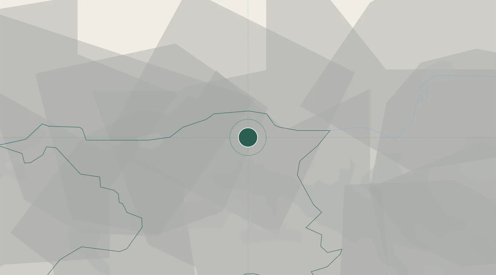
Location
Nearby Logistics Neighbours
Cities
- 1Klingnau2 km
- 2Bad Zurzach3 km
- 3Villigen6 km
- 4Rekingen6 km
- 5Untersiggenthal7 km
Ports
- 1Genova356 km
- 2Savona362 km
- 3Rada Di Vado368 km
- 4Chiavari - Lavagna372 km
- 5Porto Di Lido-Venezia400 km
Airports
- 1Zürich Airport25 km
- 2Dübendorf Air Base35 km
- 3Donaueschingen-Villingen Airfield50 km
- 4Emmen Air Base53 km
- 5EuroAirport Basel–Mulhouse–Freiburg55 km
Trade Zones
- 1ZFU Mulhouse71 km
- 2ZFU Belfort109 km
- 3ZFU Montbéliard110 km
- 4ZFU Neuhof114 km
- 5ZFU Hautepierre122 km
DatabookThe Record of Consolidated Knowledge
Switzerland beyond logistics?