Transport Functions
Multimodal
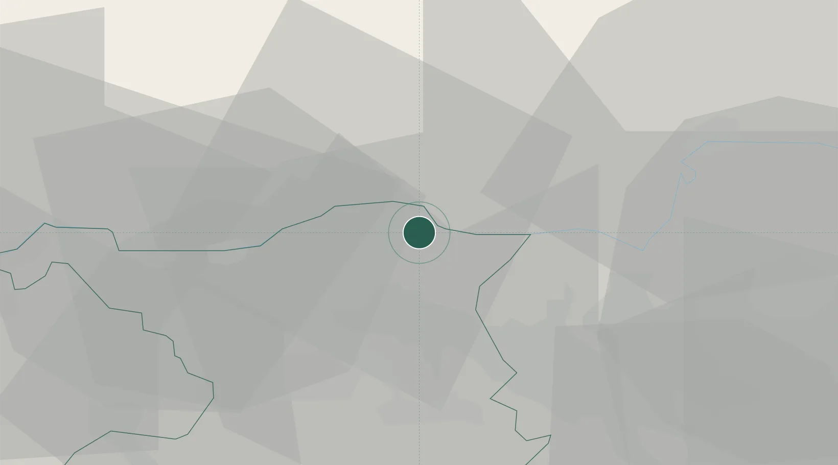
Hub Profile
Place type
Provincial seat
Region
Aargau
Population
4,344
Time zone
Europe/Zurich
Elevation
345 m
Location
Nearby Logistics Neighbours
Ports
- 1Genova358 km
- 2Savona364 km
- 3Rada Di Vado369 km
- 4Chiavari - Lavagna373 km
- 5Porto Di Lido-Venezia399 km
Airports
- 1Zürich Airport24 km
- 2Dübendorf Air Base34 km
- 3Donaueschingen-Villingen Airfield47 km
- 4Emmen Air Base55 km
- 5EuroAirport Basel–Mulhouse–Freiburg57 km
Trade Zones
- 1ZFU Mulhouse73 km
- 2ZFU Belfort111 km
- 3ZFU Montbéliard113 km
- 4ZFU Neuhof113 km
- 5ZFU Hautepierre121 km
DatabookThe Record of Consolidated Knowledge
Switzerland beyond logistics?