Transport Functions
Multimodal
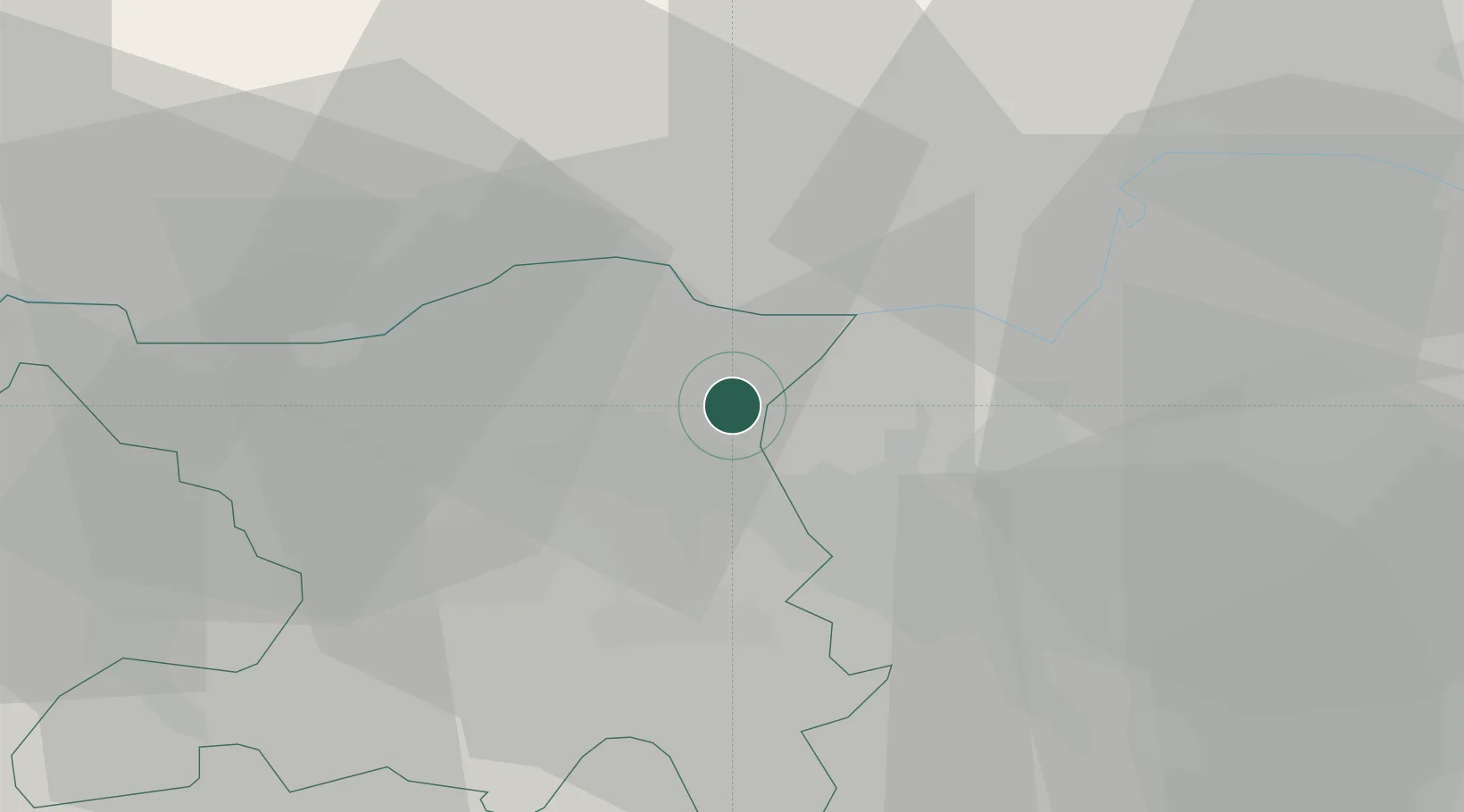
Hub Profile
Place type
Populated place
Region
Aargau
Time zone
Europe/Zurich
Elevation
426 m
Location
Nearby Logistics Neighbours
Cities
- 1Rekingen6 km
- 2Untersiggenthal7 km
- 3Turgi7 km
- 4Fisibach8 km
- 5Würenlos8 km
Ports
- 1Genova350 km
- 2Savona356 km
- 3Rada Di Vado362 km
- 4Chiavari - Lavagna365 km
- 5Porto Di Lido-Venezia391 km
Airports
- 1Zürich Airport17 km
- 2Dübendorf Air Base27 km
- 3Emmen Air Base47 km
- 4Donaueschingen-Villingen Airfield53 km
- 5EuroAirport Basel–Mulhouse–Freiburg62 km
Trade Zones
- 1ZFU Mulhouse79 km
- 2ZFU Belfort115 km
- 3ZFU Montbéliard116 km
- 4ZFU Neuhof122 km
- 5ZFU Hautepierre129 km
DatabookThe Record of Consolidated Knowledge
Switzerland beyond logistics?