Transport Functions
Rail
Road
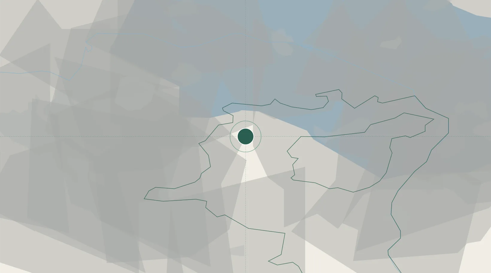
Hub Profile
Place type
Populated place
Region
Saint Gallen
Time zone
Europe/Zurich
Elevation
599 m
Location
Nearby Logistics Neighbours
Cities
- 1Niederuzwil5 km
- 2Männedorf5 km
- 3Bütschwil6 km
- 4Zuzwil8 km
- 5Dussnang8 km
Ports
- 1Genova334 km
- 2Porto Di Lido-Venezia339 km
- 3Chiavari - Lavagna345 km
- 4Savona346 km
- 5Porto Di Chioggia346 km
Airports
- 1Dübendorf Air Base32 km
- 2Sankt Gallen Altenrhein Airport38 km
- 3Zürich Airport40 km
- 4Bodensee Airport Friedrichshafen45 km
- 5Emmen Air Base67 km
Trade Zones
- 1Livigno Free Trade Zone124 km
- 2ZFU Mulhouse136 km
- 3ZFU Neuhof160 km
- 4ZFU Hautepierre168 km
- 5ZFU Montbéliard172 km
DatabookThe Record of Consolidated Knowledge
Switzerland beyond logistics?