UN/LOCODE hub · Switzerland
CHUGA
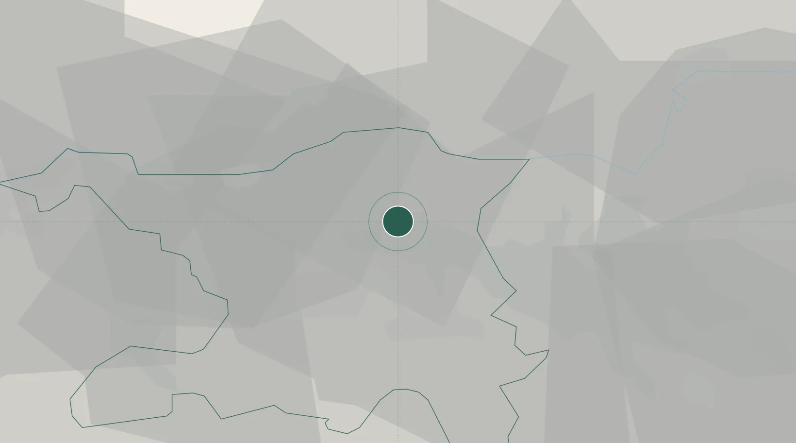
Untersiggenthal
47.5000°, 8.2500°
6,344
Population
2
Transport functions
Transport Functions
Road
Multimodal
Hub Profile
Place type
Populated place
Region
Aargau
Population
6,344
Time zone
Europe/Zurich
Elevation
385 m
Location
Nearby Logistics Neighbours
Ports
- 1Genova349 km
- 2Savona355 km
- 3Rada Di Vado360 km
- 4Chiavari - Lavagna365 km
- 5Porto Di Lido-Venezia395 km
Airports
- 1Zürich Airport23 km
- 2Dübendorf Air Base32 km
- 3Emmen Air Base46 km
- 4EuroAirport Basel–Mulhouse–Freiburg56 km
- 5Donaueschingen-Villingen Airfield56 km
Trade Zones
- 1ZFU Mulhouse74 km
- 2ZFU Belfort110 km
- 3ZFU Montbéliard110 km
- 4ZFU Neuhof121 km
- 5ZFU Hautepierre129 km
DatabookThe Record of Consolidated Knowledge
Switzerland beyond logistics?