Transport Functions
Rail
Road
Hub Profile
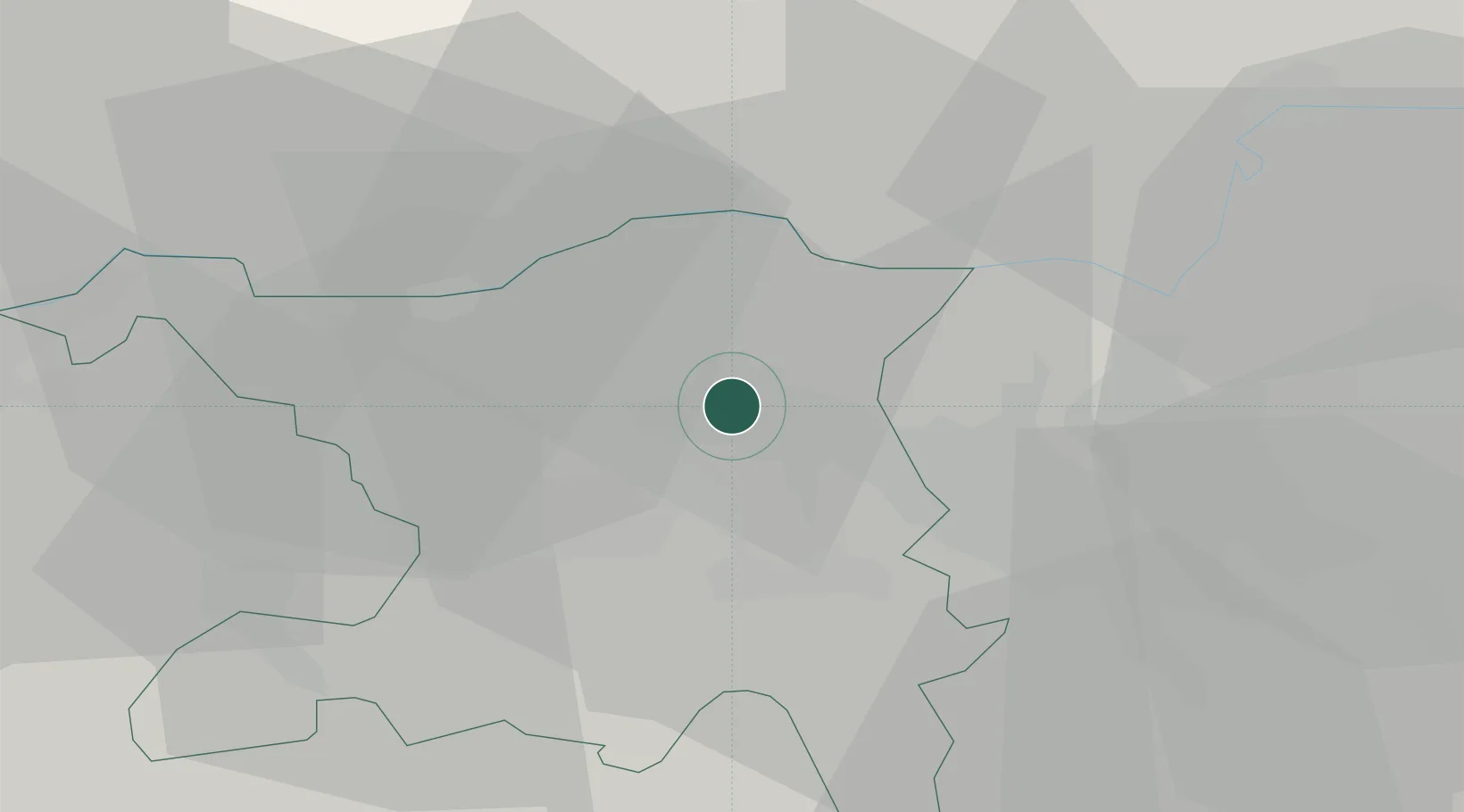
Place type
Populated place
Region
Aargau
Population
2,982
Time zone
Europe/Zurich
Elevation
341 m
Location
Nearby Logistics Neighbours
Cities
- 1Untersiggenthal2 km
- 2Villigen5 km
- 3Dättwil5 km
- 4Birr7 km
- 5Lupfig7 km
Ports
- 1Genova347 km
- 2Savona353 km
- 3Rada Di Vado358 km
- 4Chiavari - Lavagna363 km
- 5Porto Di Lido-Venezia394 km
Airports
- 1Zürich Airport23 km
- 2Dübendorf Air Base31 km
- 3Emmen Air Base44 km
- 4EuroAirport Basel–Mulhouse–Freiburg56 km
- 5Donaueschingen-Villingen Airfield58 km
Trade Zones
- 1ZFU Mulhouse75 km
- 2ZFU Belfort110 km
- 3ZFU Montbéliard110 km
- 4ZFU Neuhof123 km
- 5ZFU Hautepierre130 km
DatabookThe Record of Consolidated Knowledge
Switzerland beyond logistics?