Transport Functions
Port
Rail
Road
Hub Profile
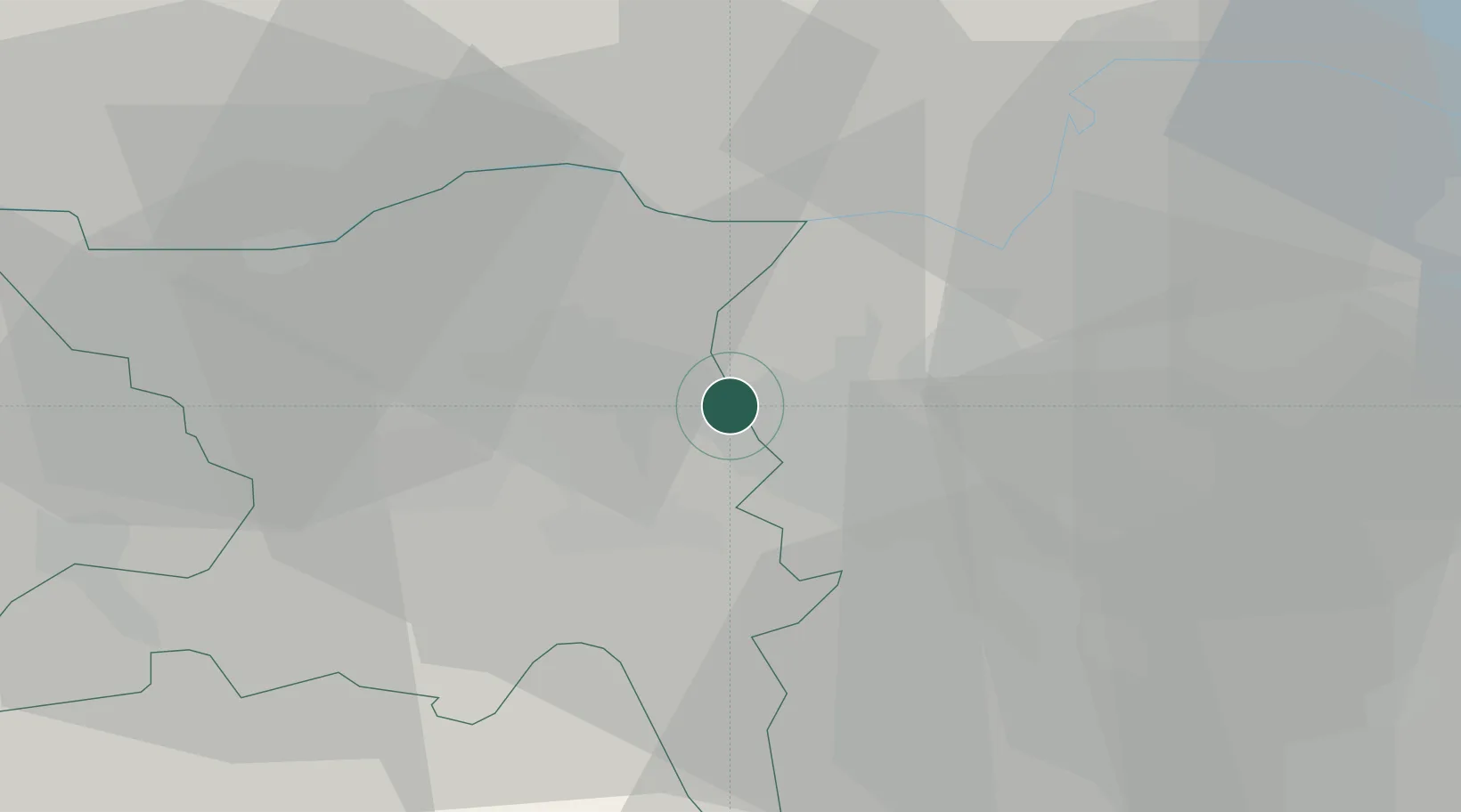
Place type
Populated place
Region
Aargau
Population
5,497
Time zone
Europe/Zurich
Elevation
407 m
Location
Nearby Logistics Neighbours
Cities
- 1Dättwil6 km
- 2Lengnau8 km
- 3Niederhasli10 km
- 4Turgi10 km
- 5Bremgarten10 km
Ports
- 1Genova342 km
- 2Savona349 km
- 3Rada Di Vado354 km
- 4Chiavari - Lavagna358 km
- 5Porto Di Lido-Venezia385 km
Airports
- 1Zürich Airport14 km
- 2Dübendorf Air Base22 km
- 3Emmen Air Base40 km
- 4Alpnach Air Base57 km
- 5Donaueschingen-Villingen Airfield59 km
Trade Zones
- 1ZFU Mulhouse84 km
- 2ZFU Montbéliard119 km
- 3ZFU Belfort119 km
- 4ZFU Neuhof129 km
- 5ZFU Hautepierre137 km
DatabookThe Record of Consolidated Knowledge
Switzerland beyond logistics?