Transport Functions
Rail
Road
Hub Profile
Place type
Provincial seat
Region
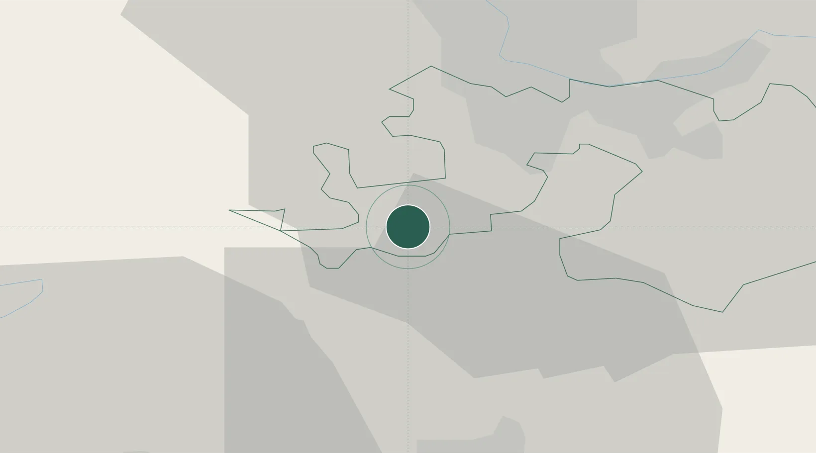
Basel-Landschaft
Population
5,618
Time zone
Europe/Zurich
Elevation
354 m
Location
Nearby Logistics Neighbours
Cities
- 1Bärschwil5 km
- 2Grellingen7 km
- 3Flüh7 km
- 4Rodersdorf8 km
- 5Therwil10 km
Ports
- 1Genova353 km
- 2Savona353 km
- 3Rada Di Vado358 km
- 4Chiavari - Lavagna374 km
- 5Imperia395 km
Airports
- 1EuroAirport Basel–Mulhouse–Freiburg21 km
- 2Grenchen Airfield27 km
- 3Montbéliard-Courcelles Airfield54 km
- 4Bern Airport56 km
- 5Les Eplatures Airport65 km
Trade Zones
- 1ZFU Mulhouse39 km
- 2ZFU Montbéliard55 km
- 3ZFU Belfort58 km
- 4PESA - Port-Franc et Entrepôts de Lausanne-Chavornay SA106 km
- 5ZFU Besancon114 km
DatabookThe Record of Consolidated Knowledge
Switzerland beyond logistics?