Transport Functions
Multimodal
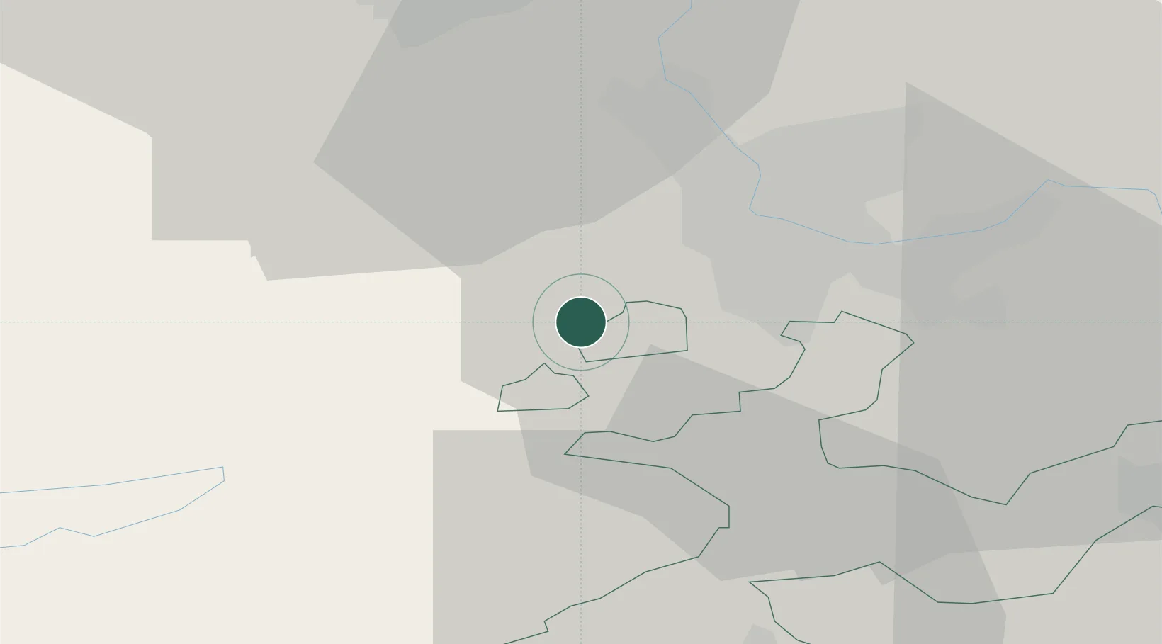
Hub Profile
Place type
Populated place
Region
Solothurn
Population
1,338
Time zone
Europe/Zurich
Elevation
381 m
Location
Nearby Logistics Neighbours
Cities
- 1Flüh4 km
- 2Therwil8 km
- 3Wentzwiller8 km
- 4Laufen8 km
- 5Oberwil8 km
Ports
- 1Savona361 km
- 2Genova361 km
- 3Rada Di Vado366 km
- 4Chiavari - Lavagna382 km
- 5Imperia403 km
Airports
- 1EuroAirport Basel–Mulhouse–Freiburg14 km
- 2Grenchen Airfield34 km
- 3Montbéliard-Courcelles Airfield50 km
- 4Bern Airport64 km
- 5Les Eplatures Airport67 km
Trade Zones
- 1ZFU Mulhouse31 km
- 2ZFU Montbéliard50 km
- 3ZFU Belfort52 km
- 4PESA - Port-Franc et Entrepôts de Lausanne-Chavornay SA109 km
- 5ZFU Besancon112 km
DatabookThe Record of Consolidated Knowledge
Switzerland beyond logistics?