Medium airport · Switzerland
Bern AirportLSZB
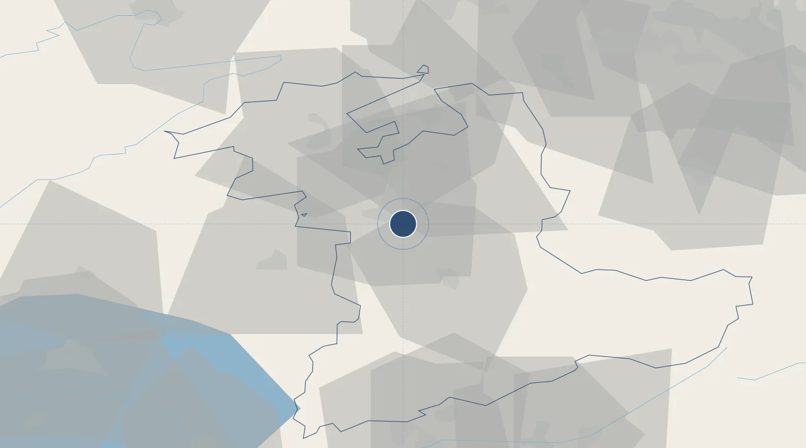
46.9127°, 7.4988°
5,676 ft
Longest runway
3
Runways
1,671 ft
Elevation
Runway & Layout

Radio Frequencies
ATIS
125.125 MHz
TWR
121.025 MHz
A/D
127.325 MHz
APP/DEP
MISC
123.4 MHz
GLIDER
OPS
135.75 MHz
ALPAR
Navaids
BER NDB Bern 335 kHz
MUR NDB Muri 312 kHz
SHU NDB Schupberg 357 kHz
Runways · 3
| Runway | Dimensions | Surface | True heading | Lit |
|---|---|---|---|---|
| 14/32 | 5,676 × 98ft | Asphalt | 140° | ✓ |
| 14L/32R | 2,133 × 98ft | Grass | 140° | — |
| 14R/32L | 2,125 × 98ft | Grass | 140° | — |
Airport Specifications
IATA code
BRN
ICAO code
LSZB
Airport class
Medium airport
Scheduled service
Yes
Runway surface
Asphalt
Served city
Bern
Location
Nearby Logistics Neighbours
Airports
- 1Grenchen Airfield31 km
- 2Payerne Air Base45 km
- 3Les Eplatures Airport57 km
- 4Alpnach Air Base60 km
- 5Emmen Air Base64 km
Cities
- 1Belp3 km
- 2Boll5 km
- 3Zimmerwald6 km
- 4Worblaufen7 km
- 5Köniz8 km
Ports
- 1Savona299 km
- 2Genova301 km
- 3Rada Di Vado304 km
- 4Chiavari - Lavagna323 km
- 5Imperia339 km
Trade Zones
- 1PESA - Port-Franc et Entrepôts de Lausanne-Chavornay SA75 km
- 2ZFU Montbéliard85 km
- 3Port Franc Vevey87 km
- 4ZFU Mulhouse94 km
- 5ZFU Belfort97 km
DatabookThe Record of Consolidated Knowledge
Switzerland beyond logistics?