Transport Functions
Rail
Road
Hub Profile
Place type
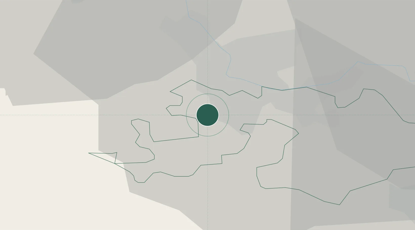
Populated place
Region
Basel-Landschaft
Population
9,595
Time zone
Europe/Zurich
Elevation
308 m
Location
Nearby Logistics Neighbours
Cities
- 1Oberwil2 km
- 2Bottmingen2 km
- 3Binningen4 km
- 4Flüh4 km
- 5Basel Schweizerhalle6 km
Ports
- 1Genova361 km
- 2Savona362 km
- 3Rada Di Vado366 km
- 4Chiavari - Lavagna381 km
- 5Imperia404 km
Airports
- 1EuroAirport Basel–Mulhouse–Freiburg11 km
- 2Grenchen Airfield37 km
- 3Montbéliard-Courcelles Airfield57 km
- 4Bern Airport65 km
- 5Colmar Houssen airport69 km
Trade Zones
- 1ZFU Mulhouse32 km
- 2ZFU Montbéliard57 km
- 3ZFU Belfort58 km
- 4PESA - Port-Franc et Entrepôts de Lausanne-Chavornay SA115 km
- 5ZFU Neuhof117 km
DatabookThe Record of Consolidated Knowledge
Switzerland beyond logistics?