Transport Functions
Road
Multimodal
Hub Profile
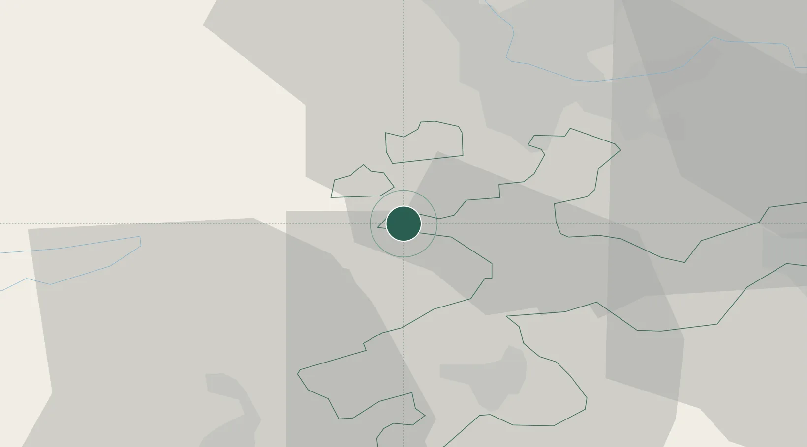
Place type
Populated place
Region
Solothurn
Population
918
Time zone
Europe/Zurich
Elevation
466 m
Location
Nearby Logistics Neighbours
Cities
- 1Laufen5 km
- 2Choindez10 km
- 3Grellingen10 km
- 4Rodersdorf11 km
- 5Flüh11 km
Ports
- 1Savona350 km
- 2Genova351 km
- 3Rada Di Vado355 km
- 4Chiavari - Lavagna371 km
- 5Imperia392 km
Airports
- 1Grenchen Airfield23 km
- 2EuroAirport Basel–Mulhouse–Freiburg25 km
- 3Montbéliard-Courcelles Airfield52 km
- 4Bern Airport52 km
- 5Les Eplatures Airport61 km
Trade Zones
- 1ZFU Mulhouse42 km
- 2ZFU Montbéliard53 km
- 3ZFU Belfort58 km
- 4PESA - Port-Franc et Entrepôts de Lausanne-Chavornay SA102 km
- 5ZFU Besancon111 km
DatabookThe Record of Consolidated Knowledge
Switzerland beyond logistics?