Transport Functions
Rail
Road
Hub Profile
Place type
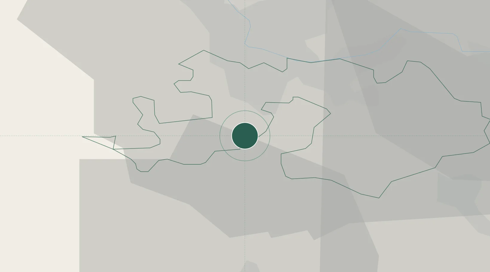
Populated place
Region
Basel-Landschaft
Population
1,767
Time zone
Europe/Zurich
Elevation
334 m
Location
Nearby Logistics Neighbours
Cities
- 1Laufen7 km
- 2Therwil8 km
- 3Flüh8 km
- 4Bottmingen9 km
- 5Oberwil10 km
Ports
- 1Genova353 km
- 2Savona354 km
- 3Rada Di Vado359 km
- 4Chiavari - Lavagna373 km
- 5Imperia396 km
Airports
- 1EuroAirport Basel–Mulhouse–Freiburg19 km
- 2Grenchen Airfield31 km
- 3Bern Airport58 km
- 4Montbéliard-Courcelles Airfield60 km
- 5Emmen Air Base66 km
Trade Zones
- 1ZFU Mulhouse40 km
- 2ZFU Montbéliard60 km
- 3ZFU Belfort63 km
- 4PESA - Port-Franc et Entrepôts de Lausanne-Chavornay SA112 km
- 5ZFU Besancon121 km
DatabookThe Record of Consolidated Knowledge
Switzerland beyond logistics?