Transport Functions
Rail
Road
Hub Profile
Place type
Locality
Region
Zurich
Population
7
Time zone
Europe/Zurich
Elevation
453 m
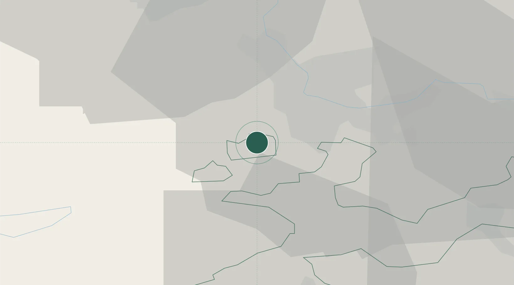
Location
Nearby Logistics Neighbours
Cities
- 1Rodersdorf4 km
- 2Therwil4 km
- 3Oberwil5 km
- 4Bottmingen6 km
- 5Laufen7 km
Ports
- 1Genova360 km
- 2Savona361 km
- 3Rada Di Vado365 km
- 4Chiavari - Lavagna381 km
- 5Imperia402 km
Airports
- 1EuroAirport Basel–Mulhouse–Freiburg13 km
- 2Grenchen Airfield34 km
- 3Montbéliard-Courcelles Airfield53 km
- 4Bern Airport63 km
- 5Les Eplatures Airport69 km
Trade Zones
- 1ZFU Mulhouse32 km
- 2ZFU Montbéliard54 km
- 3ZFU Belfort55 km
- 4PESA - Port-Franc et Entrepôts de Lausanne-Chavornay SA112 km
- 5ZFU Besancon116 km
DatabookThe Record of Consolidated Knowledge
Switzerland beyond logistics?