Transport Functions
Rail
Road
Hub Profile
Place type
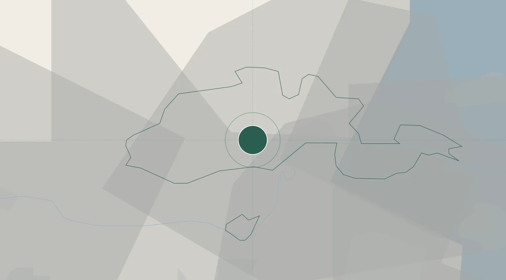
Populated place
Region
Schaffhausen
Population
3,216
Time zone
Europe/Zurich
Elevation
455 m
Location
Nearby Logistics Neighbours
Cities
- 1Neuhausen am Rheinfall4 km
- 2Flurlingen5 km
- 3Jestetten6 km
- 4Neunkirch7 km
- 5Schlatt11 km
Ports
- 1Genova368 km
- 2Savona376 km
- 3Chiavari - Lavagna382 km
- 4Rada Di Vado382 km
- 5Porto Di Lido-Venezia390 km
Airports
- 1Zürich Airport27 km
- 2Donaueschingen-Villingen Airfield31 km
- 3Dübendorf Air Base34 km
- 4Emmen Air Base70 km
- 5Bodensee Airport Friedrichshafen71 km
Trade Zones
- 1ZFU Mulhouse92 km
- 2ZFU Neuhof111 km
- 3ZFU Hautepierre119 km
- 4ZFU Belfort132 km
- 5ZFU Montbéliard135 km
DatabookThe Record of Consolidated Knowledge
Switzerland beyond logistics?