Transport Functions
Rail
Road
Hub Profile
Place type
Populated place
Region
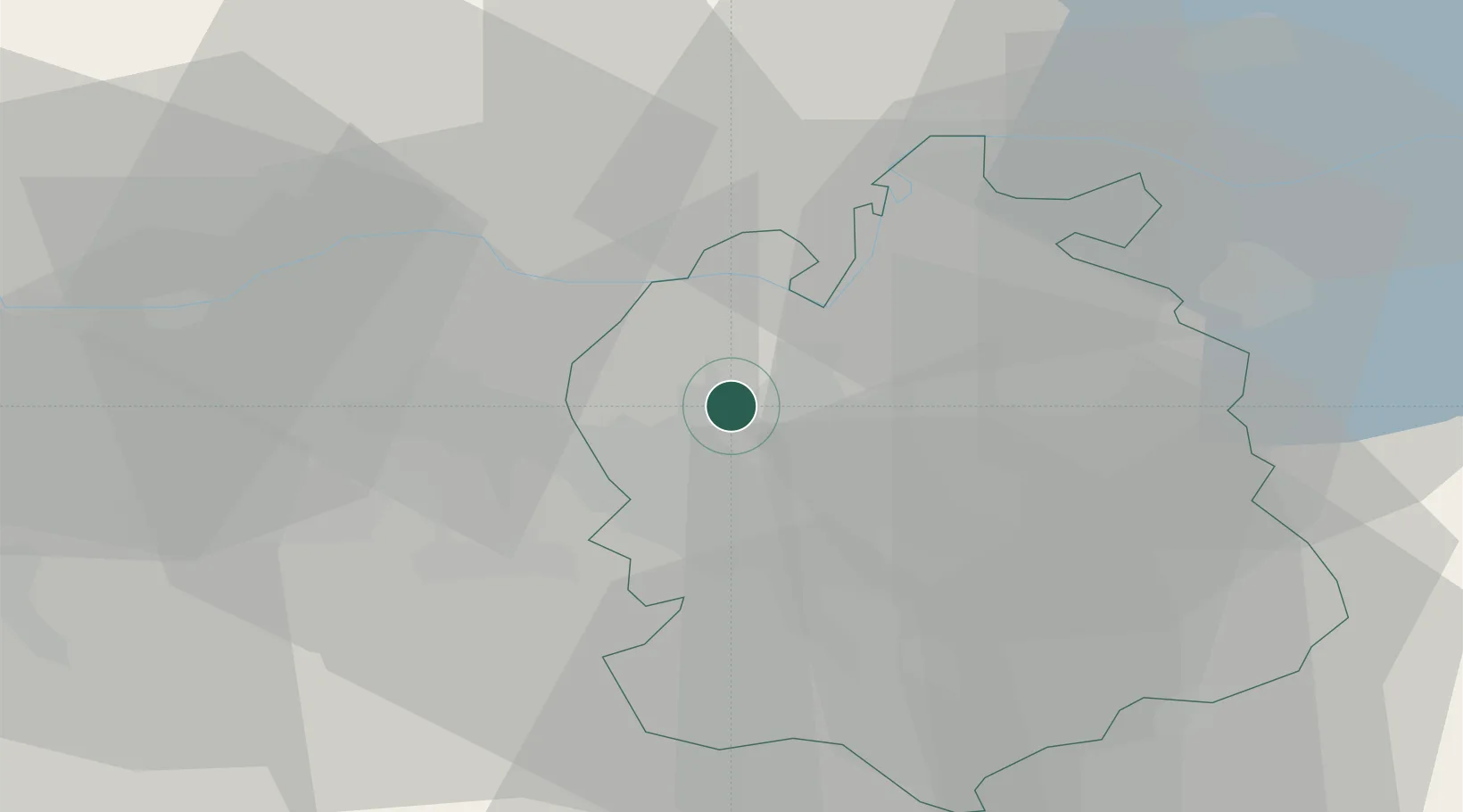
Zurich
Population
2,848
Time zone
Europe/Zurich
Elevation
418 m
Location
Nearby Logistics Neighbours
Cities
- 1Oberglatt1 km
- 2Bülach5 km
- 3Rümlang5 km
- 4Glattbrugg8 km
- 5Embrach-Embraport8 km
Ports
- 1Genova345 km
- 2Savona352 km
- 3Rada Di Vado358 km
- 4Chiavari - Lavagna359 km
- 5Porto Di Lido-Venezia380 km
Airports
- 1Zürich Airport6 km
- 2Dübendorf Air Base16 km
- 3Emmen Air Base46 km
- 4Donaueschingen-Villingen Airfield55 km
- 5Alpnach Air Base62 km
Trade Zones
- 1ZFU Mulhouse91 km
- 2ZFU Belfort127 km
- 3ZFU Montbéliard128 km
- 4ZFU Neuhof129 km
- 5ZFU Hautepierre137 km
DatabookThe Record of Consolidated Knowledge
Switzerland beyond logistics?