Transport Functions
Rail
Road
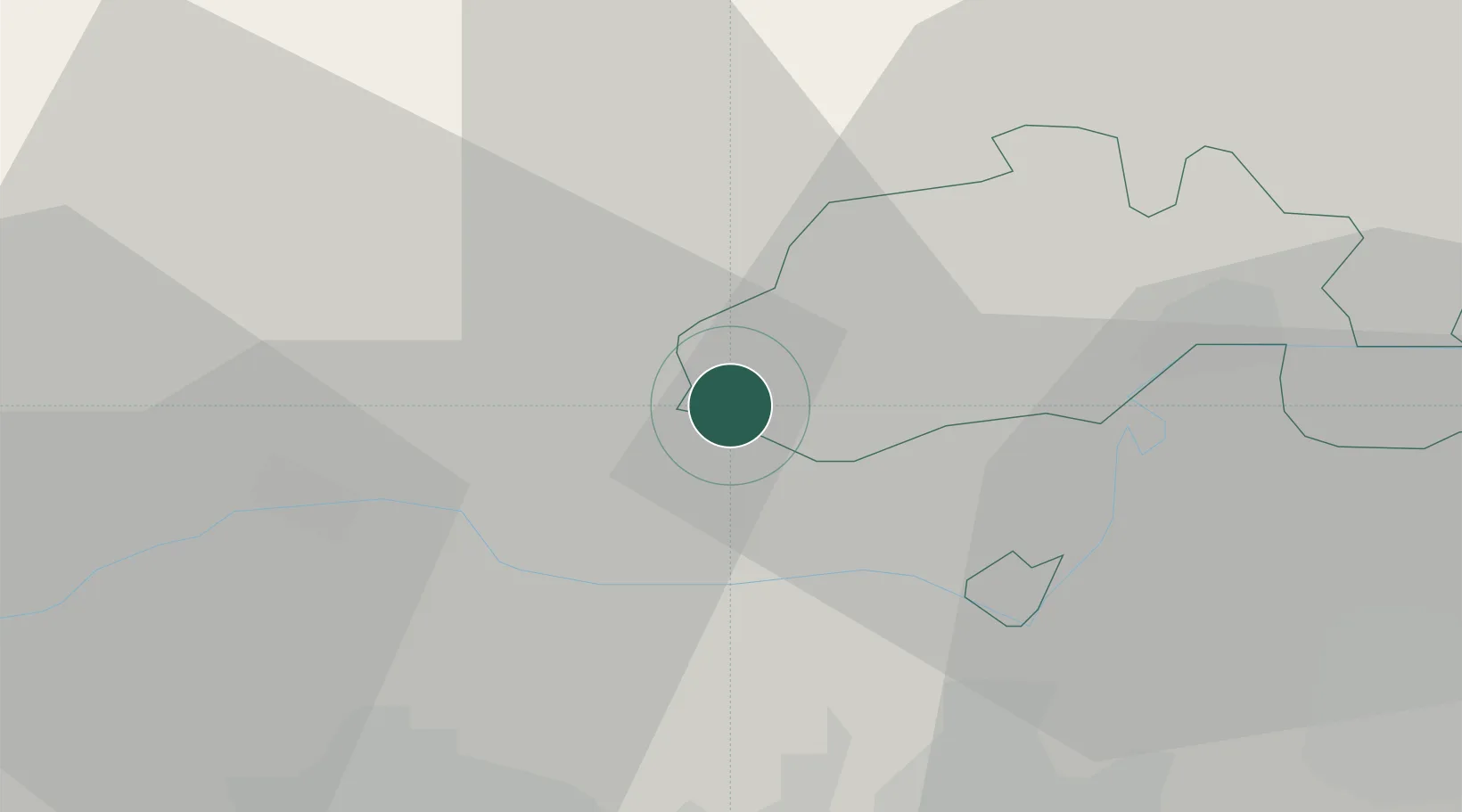
Hub Profile
Place type
Populated place
Region
Schaffhausen
Population
558
Time zone
Europe/Zurich
Elevation
410 m
Location
Nearby Logistics Neighbours
Cities
- 1Wutoeschingen4 km
- 2Neunkirch5 km
- 3Fisibach11 km
- 4Jestetten11 km
- 5Beringen12 km
Ports
- 1Genova366 km
- 2Savona373 km
- 3Rada Di Vado378 km
- 4Chiavari - Lavagna380 km
- 5Porto Di Lido-Venezia396 km
Airports
- 1Zürich Airport25 km
- 2Dübendorf Air Base35 km
- 3Donaueschingen-Villingen Airfield35 km
- 4Emmen Air Base64 km
- 5EuroAirport Basel–Mulhouse–Freiburg68 km
Trade Zones
- 1ZFU Mulhouse81 km
- 2ZFU Neuhof109 km
- 3ZFU Hautepierre116 km
- 4ZFU Belfort121 km
- 5ZFU Montbéliard124 km
DatabookThe Record of Consolidated Knowledge
Switzerland beyond logistics?