Transport Functions
Port
Multimodal
Hub Profile
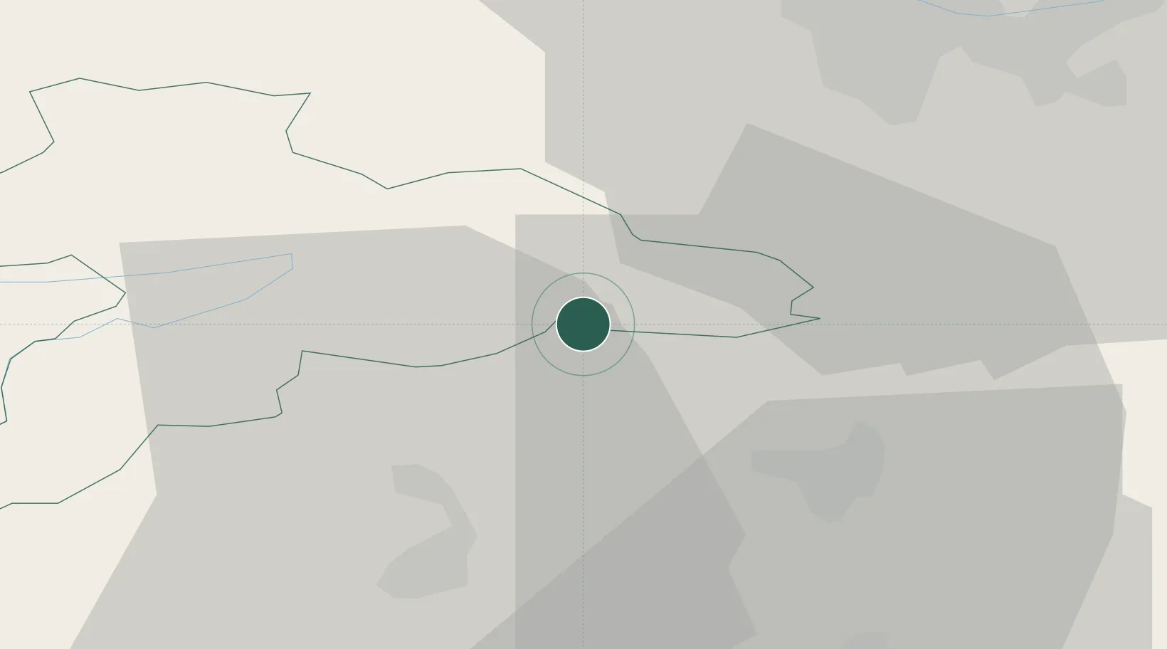
Place type
Populated place
Region
Jura
Time zone
Europe/Zurich
Elevation
467 m
Location
Nearby Logistics Neighbours
Cities
- 1Courfaivre8 km
- 2Bärschwil10 km
- 3Bassecourt12 km
- 4Selzach14 km
- 5Laufen14 km
Ports
- 1Savona345 km
- 2Genova346 km
- 3Rada Di Vado349 km
- 4Chiavari - Lavagna367 km
- 5Imperia385 km
Airports
- 1Grenchen Airfield15 km
- 2EuroAirport Basel–Mulhouse–Freiburg33 km
- 3Bern Airport46 km
- 4Montbéliard-Courcelles Airfield49 km
- 5Les Eplatures Airport52 km
Trade Zones
- 1ZFU Mulhouse48 km
- 2ZFU Montbéliard50 km
- 3ZFU Belfort57 km
- 4PESA - Port-Franc et Entrepôts de Lausanne-Chavornay SA92 km
- 5ZFU Besancon104 km
DatabookThe Record of Consolidated Knowledge
Switzerland beyond logistics?