UN/LOCODE hub · Switzerland
CHAUS

Au

47.4333°, 9.6167°
6,673
Population
3
Transport functions

Transport Functions

Rail
Road
Border Crossing
UN/LOCODE

Hub Profile

Place type
Populated place
GeoNames
Region
Saint Gallen
GeoNames
Population
6,673
GeoNames
Time zone
Europe/Zurich
GeoNames
Elevation
403 m
GeoNames

Location

Location of CHAUS
Natural Earth 10m (public domain) · Saint Gallen · CHAUS · 47.43, 9.62GoogleOSMYandex

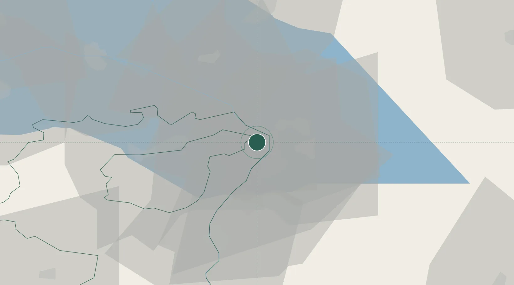
Nearby Logistics Neighbours

Cities
  1. 1Fussach6 km
  2. 2Altenrhein8 km
  3. 3Altach10 km
  4. 4Reuthe11 km
  5. 5Goldach12 km
Nearest neighbours — logibook spatial index (haversine) over the source coordinates
Ports
  1. 1Porto Di Lido-Venezia311 km
  2. 2Porto Di Chioggia320 km
  3. 3Nogaro329 km
  4. 4Grado341 km
  5. 5Genova342 km
Nearest neighbours — logibook spatial index (haversine) over the source coordinates
Airports
  1. 1Sankt Gallen Altenrhein Airport7 km
  2. 2Bodensee Airport Friedrichshafen28 km
  3. 3Mengen-Hohentengen Airfield71 km
  4. 4Dübendorf Air Base73 km
  5. 5Memmingen Allgau Airport77 km
Nearest neighbours — logibook spatial index (haversine) over the source coordinates
Trade Zones
  1. 1Livigno Free Trade Zone107 km
  2. 2ZFU Mulhouse175 km
  3. 3Magazzini Generali Con Chiasso184 km
  4. 4ZFU Neuhof185 km
  5. 5ZFU Hautepierre193 km
Nearest neighbours — logibook spatial index (haversine) over the source coordinates
DatabookThe Record of Consolidated Knowledge
Switzerland beyond logistics?
Browse databook

All Sources

LocationsUN/LOCODE
UN/LOCODE — free
LocationsGeoNames
CC BY 4.0
Portsthe NGA World Port Index
Public domain (US gov)
AirportsOurAirports
Public domain
Trade Zonesthe World Bank SEZ database
CC BY 4.0
Trade ZonesOpen Zone Map
CC BY
← Switzerland locations