UN/LOCODE hub · Austria
ATFSA

Fussach

47.4833°, 9.6500°
3,871
Population
1
Transport functions

Transport Functions

Multimodal
UN/LOCODE

Hub Profile

Place type
District seat
GeoNames
Region
Vorarlberg
GeoNames
Population
3,871
GeoNames
Time zone
Europe/Vienna
GeoNames
Elevation
397 m
GeoNames

Location

Location of ATFSA
Natural Earth 10m (public domain) · Vorarlberg · ATFSA · 47.48, 9.65GoogleOSMYandex

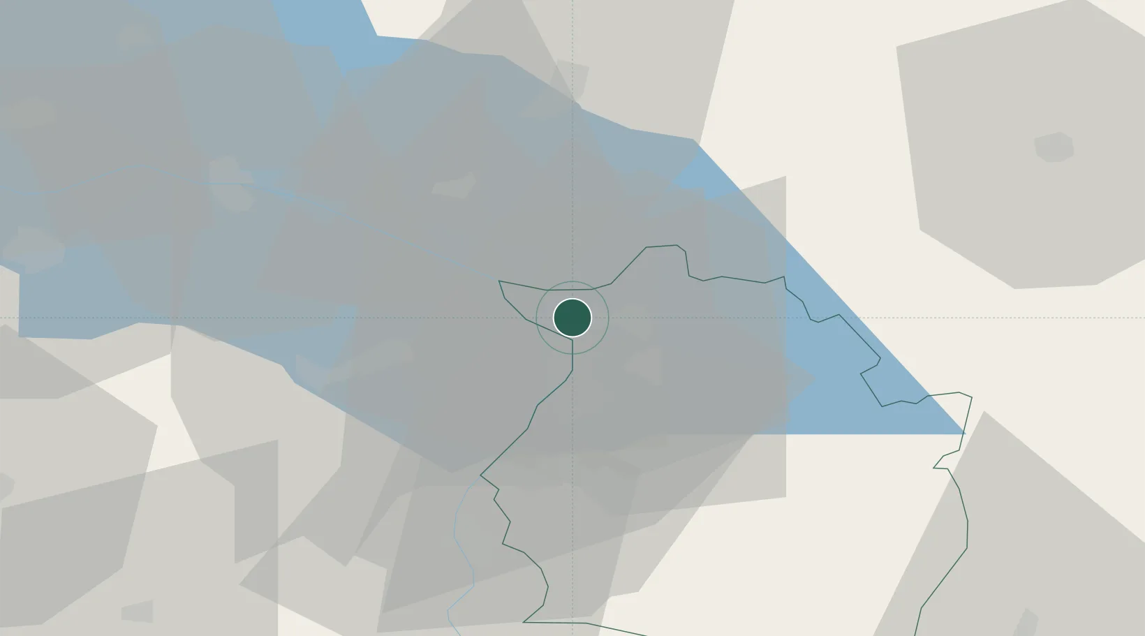
Nearby Logistics Neighbours

Cities
  1. 1Reuthe5 km
  2. 2Au6 km
  3. 3Altenrhein8 km
  4. 4Lindau8 km
  5. 5Bregenz9 km
Nearest neighbours — logibook spatial index (haversine) over the source coordinates
Ports
  1. 1Porto Di Lido-Venezia314 km
  2. 2Porto Di Chioggia322 km
  3. 3Nogaro330 km
  4. 4Grado342 km
  5. 5Genova348 km
Nearest neighbours — logibook spatial index (haversine) over the source coordinates
Airports
  1. 1Sankt Gallen Altenrhein Airport7 km
  2. 2Bodensee Airport Friedrichshafen23 km
  3. 3Mengen-Hohentengen Airfield67 km
  4. 4Memmingen Allgau Airport71 km
  5. 5Dübendorf Air Base76 km
Nearest neighbours — logibook spatial index (haversine) over the source coordinates
Trade Zones
  1. 1Livigno Free Trade Zone111 km
  2. 2ZFU Mulhouse176 km
  3. 3ZFU Neuhof183 km
  4. 4Magazzini Generali Con Chiasso190 km
  5. 5ZFU Hautepierre191 km
Nearest neighbours — logibook spatial index (haversine) over the source coordinates
DatabookThe Record of Consolidated Knowledge
Austria beyond logistics?
Browse databook

All Sources

LocationsUN/LOCODE
UN/LOCODE — free
LocationsGeoNames
CC BY 4.0
Portsthe NGA World Port Index
Public domain (US gov)
AirportsOurAirports
Public domain
Trade Zonesthe World Bank SEZ database
CC BY 4.0
Trade ZonesOpen Zone Map
CC BY
← Austria locations