Transport Functions
Rail
Road
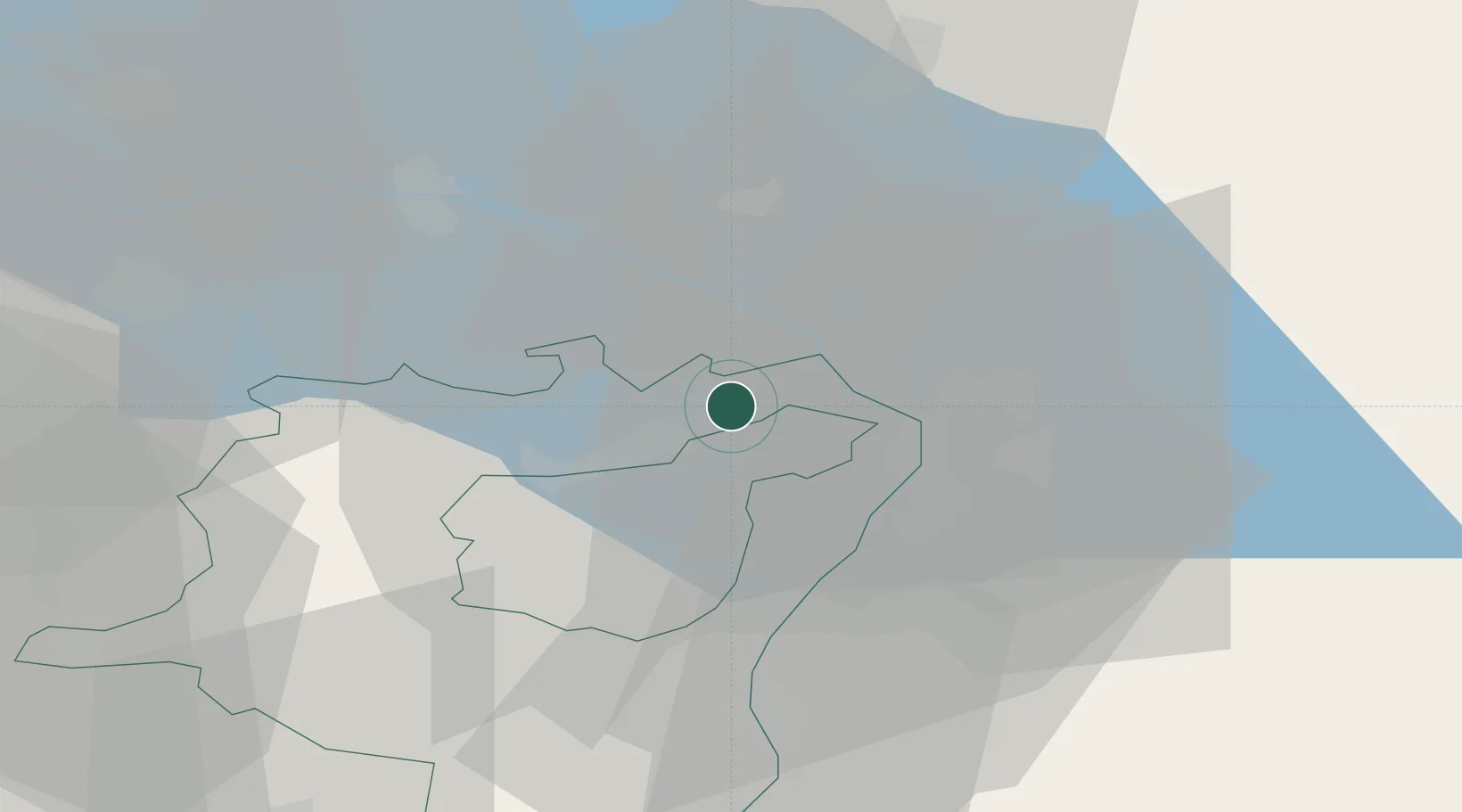
Hub Profile
Place type
Populated place
Region
Saint Gallen
Population
9,094
Time zone
Europe/Zurich
Elevation
448 m
Location
Nearby Logistics Neighbours
Cities
- 1Mörschwil4 km
- 2Freidorf4 km
- 3Wittenbach6 km
- 4Altenrhein7 km
- 5Engelburg11 km
Ports
- 1Porto Di Lido-Venezia322 km
- 2Porto Di Chioggia330 km
- 3Nogaro340 km
- 4Genova344 km
- 5Chiavari - Lavagna352 km
Airports
Trade Zones
- 1Livigno Free Trade Zone114 km
- 2ZFU Mulhouse163 km
- 3ZFU Neuhof174 km
- 4ZFU Hautepierre182 km
- 5Magazzini Generali Con Chiasso185 km
DatabookThe Record of Consolidated Knowledge
Switzerland beyond logistics?