Transport Functions
Rail
Road
Airport
Hub Profile
Place type
Populated place
Region
Saint Gallen
Time zone
Europe/Zurich
Elevation
398 m
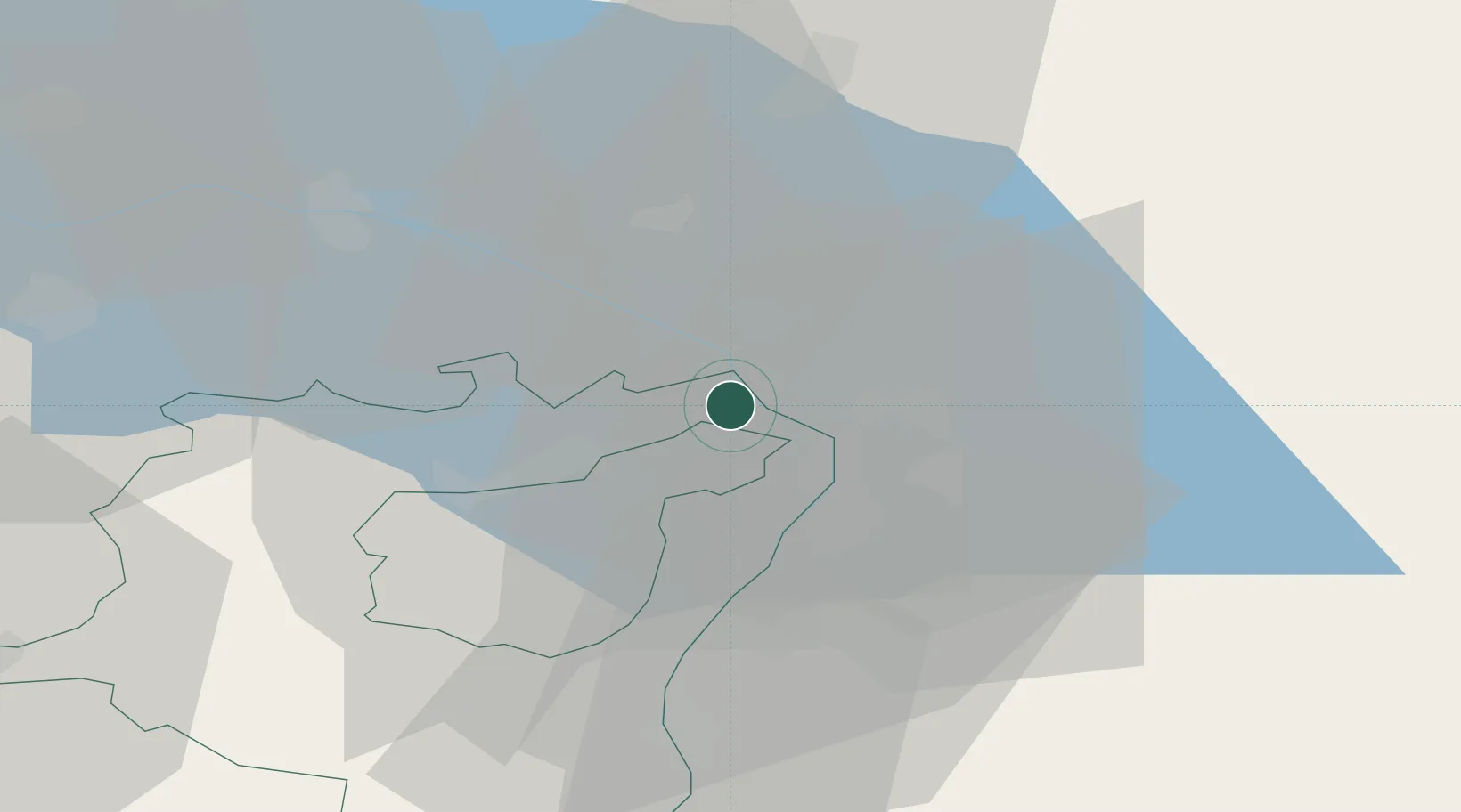
Location
Nearby Logistics Neighbours
Ports
- 1Porto Di Lido-Venezia319 km
- 2Porto Di Chioggia327 km
- 3Nogaro336 km
- 4Genova347 km
- 5Grado349 km
Airports
Trade Zones
- 1Livigno Free Trade Zone114 km
- 2ZFU Mulhouse169 km
- 3ZFU Neuhof177 km
- 4ZFU Hautepierre185 km
- 5Magazzini Generali Con Chiasso188 km
DatabookThe Record of Consolidated Knowledge
Switzerland beyond logistics?