Transport Functions
Multimodal
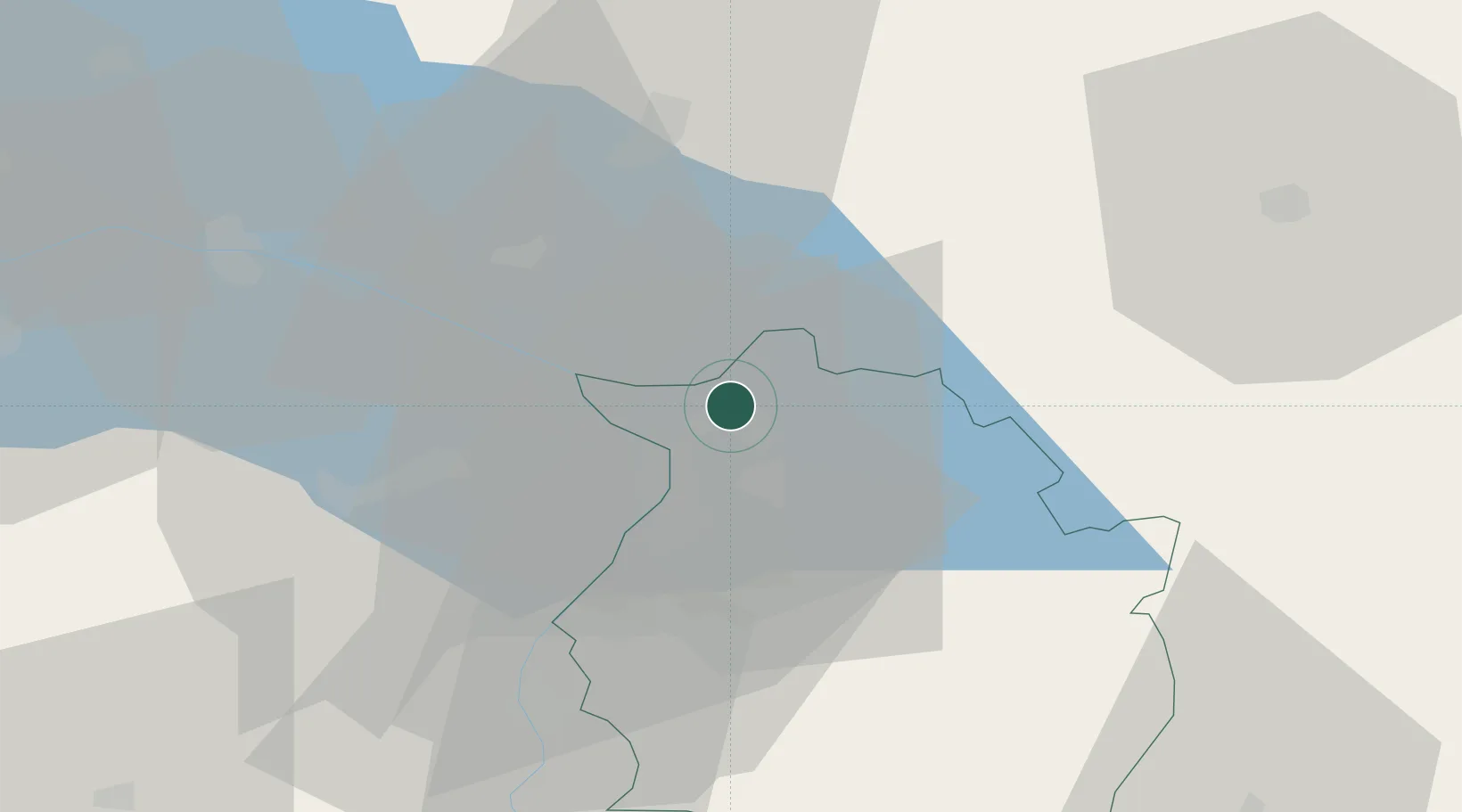
Hub Profile
Place type
Urban district
Region
Vorarlberg
Time zone
Europe/Vienna
Elevation
419 m
Location
Nearby Logistics Neighbours
Cities
- 1Bregenz4 km
- 2Fussach5 km
- 3Lindau6 km
- 4Wasserburg am Bodensee10 km
- 5Au11 km
Ports
- 1Porto Di Lido-Venezia311 km
- 2Porto Di Chioggia321 km
- 3Nogaro327 km
- 4Grado339 km
- 5Monfalcone349 km
Airports
Trade Zones
- 1Livigno Free Trade Zone111 km
- 2ZFU Mulhouse181 km
- 3ZFU Neuhof186 km
- 4Magazzini Generali Con Chiasso193 km
- 5ZFU Hautepierre194 km
DatabookThe Record of Consolidated Knowledge
Austria beyond logistics?