Transport Functions
Rail
Road
Multimodal
Hub Profile
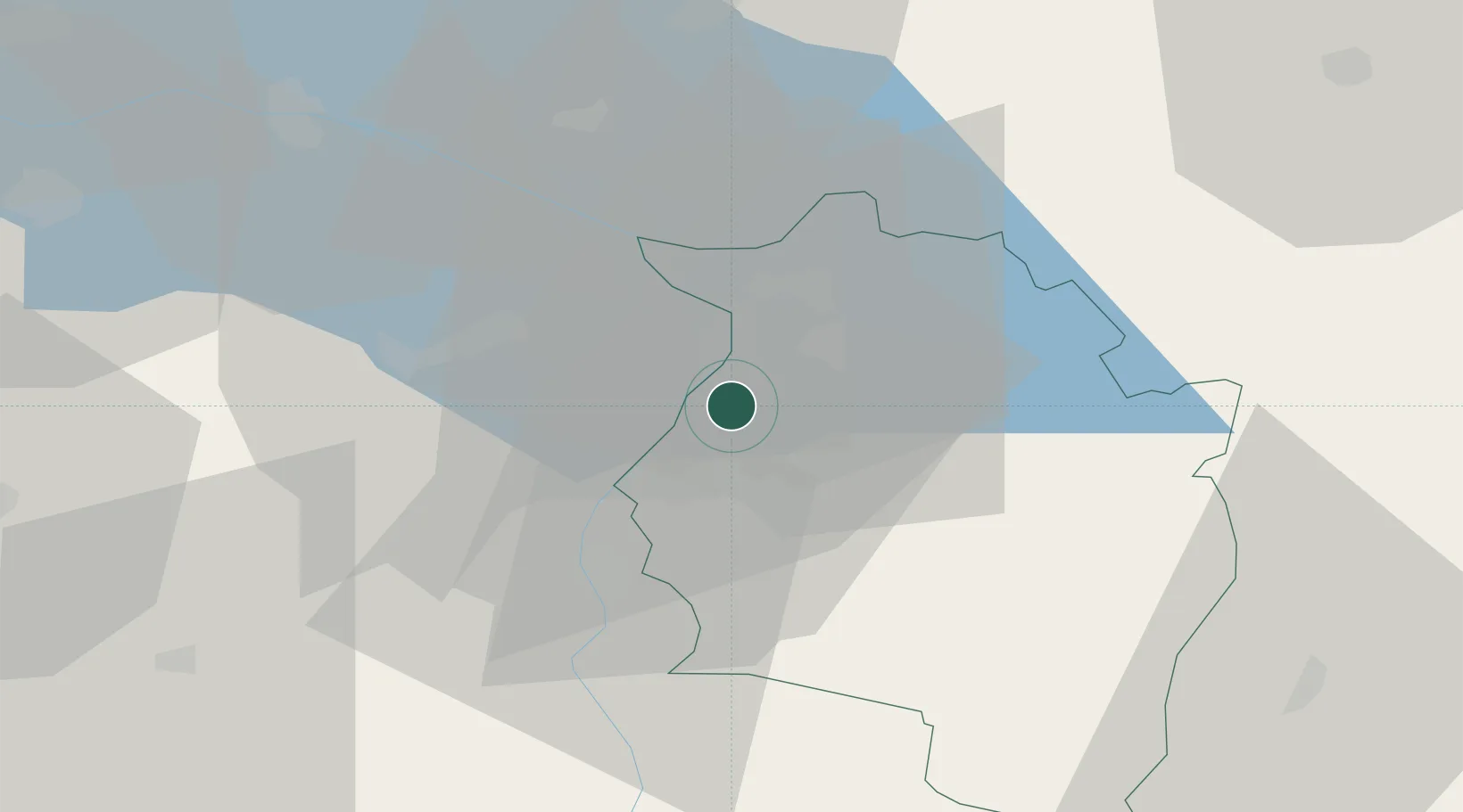
Place type
District seat
Region
Vorarlberg
Population
6,624
Time zone
Europe/Vienna
Elevation
413 m
Location
Nearby Logistics Neighbours
Ports
- 1Porto Di Lido-Venezia303 km
- 2Porto Di Chioggia311 km
- 3Nogaro322 km
- 4Genova333 km
- 5Grado334 km
Airports
Trade Zones
- 1Livigno Free Trade Zone97 km
- 2Magazzini Generali Con Chiasso176 km
- 3ZFU Mulhouse179 km
- 4ZFU Neuhof193 km
- 5ZFU Hautepierre201 km
DatabookThe Record of Consolidated Knowledge
Austria beyond logistics?