Small airport · Canada
Taloyoak AirportCYYH
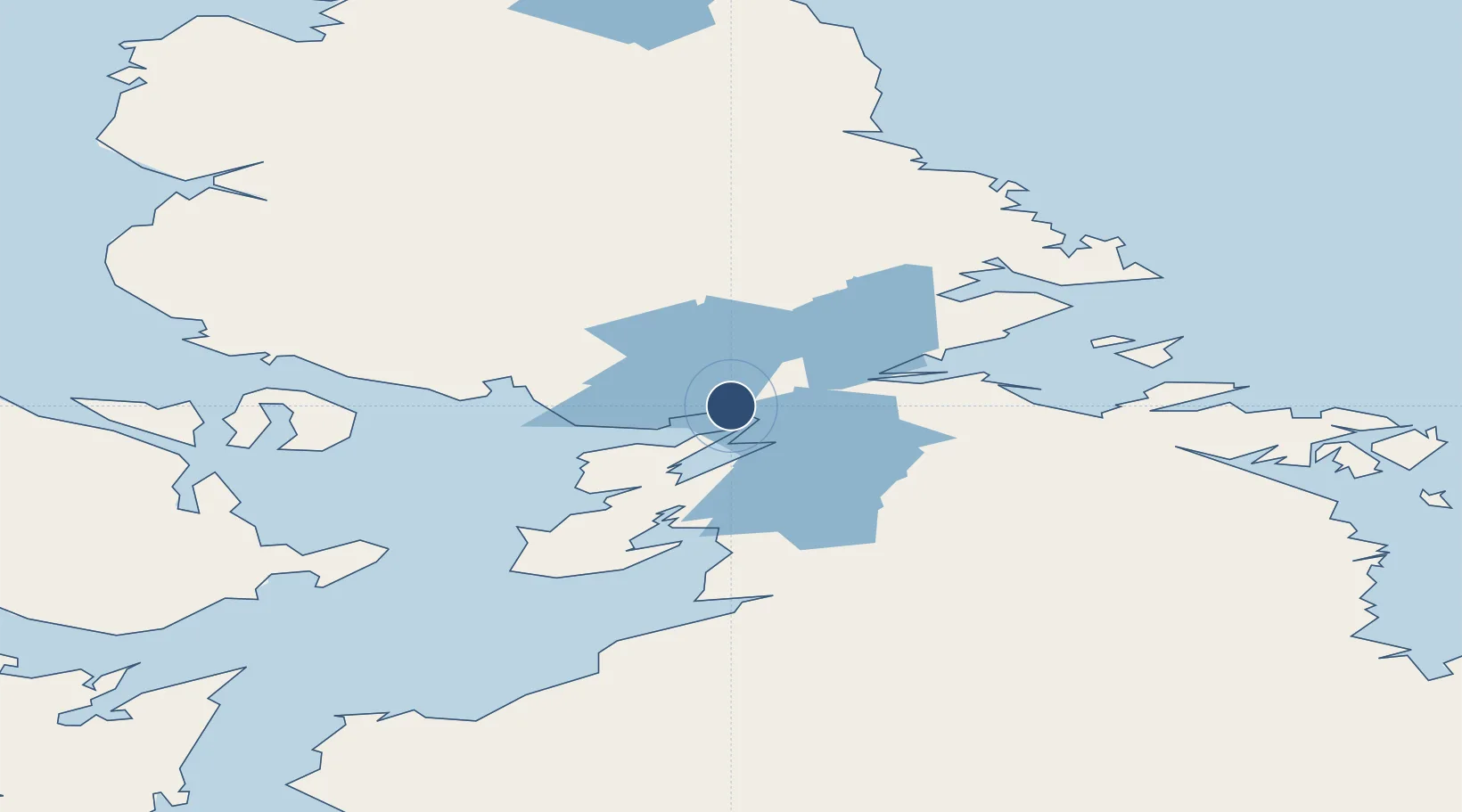
69.5467°, -93.5767°
4,020 ft
Longest runway
1
Runways
92 ft
Elevation
Runway & Layout

Radio Frequencies
ATF
122.1 MHz
MANDATORY FREQ
RDO
122.1 MHz
ARPT RDO
Navaids
YYH NDB Taloyoak 290 kHz
Runways · 1
| Runway | Dimensions | Surface | True heading | Lit |
|---|---|---|---|---|
| 15T/33T | 4,020 × 100ft | Gravel | 152° | ✓ |
Airport Specifications
IATA code
YYH
ICAO code
CYYH
Airport class
Small airport
Scheduled service
Yes
Runway surface
Gravel
Served city
Taloyoak
Location
Nearby Logistics Neighbours
Airports
- 1Gjoa Haven Airport136 km
- 2Kugaaruk Airport187 km
- 3Naujaat Airport454 km
- 4Arctic Bay Airport490 km
- 5Resolute Bay Airport577 km
Cities
- 1Gjoa Haven137 km
- 2Cambridge Bay453 km
- 3Igloolik459 km
- 4Arctic Bay489 km
- 5Milne Inlet Port531 km
Ports
- 1Pond Inlet698 km
- 2Deception Bay1181 km
- 3Churchill1197 km
- 4Heron Bay2356 km
- 5Thunder Bay2363 km
Trade Zones
- 1Port Alberta - Edmonton FTZ2034 km
- 2Winnipegs Centreport Canada2193 km
- 3Global Transportation Hub Authority2205 km
- 4Calgary Region Inland Port2320 km
- 5FTZ No. 259 Koochiching County2365 km
DatabookThe Record of Consolidated Knowledge
Canada beyond logistics?