Transport Functions
Port
Road
Airport
Hub Profile
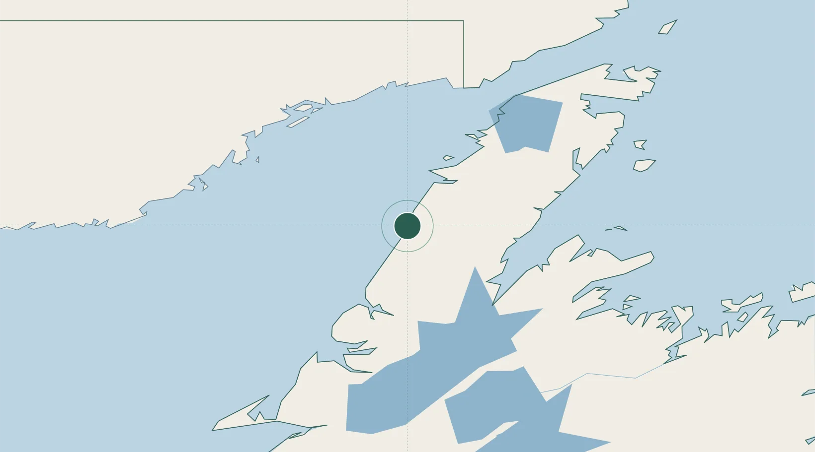
Place type
Populated place
Region
Newfoundland and Labrador
Population
220
Time zone
America/St_Johns
Elevation
15 m
Location
Nearby Logistics Neighbours
Cities
- 1Cow Head40 km
- 2Jackson Arm69 km
- 3Lomond88 km
- 4Hampden93 km
- 5Baie Verte106 km
Ports
- 1Baie Verte105 km
- 2Roddickton124 km
- 3Blanc Sablon135 km
- 4Springdale136 km
- 5Corner Brook145 km
Airports
- 1Deer Lake Airport115 km
- 2La Tabatière Airport119 km
- 3St Augustin Airport133 km
- 4Tête-à-la-Baleine Airport137 km
- 5Lourdes-de-Blanc-Sablon Airport137 km
Trade Zones
- 1Crossroads Business Park260 km
- 2Cape Breton Regional Municipality Foreign Trade Zone509 km
- 3Halifax Gateway767 km
- 4Saint John840 km
- 5FTZ No. 179 Madawaska853 km
DatabookThe Record of Consolidated Knowledge
Canada beyond logistics?