Runway & Layout

Airport Specifications
IATA code
ZLT
ICAO code
CTU5
Airport class
Small airport
Scheduled service
Yes
Served city
La Tabatière
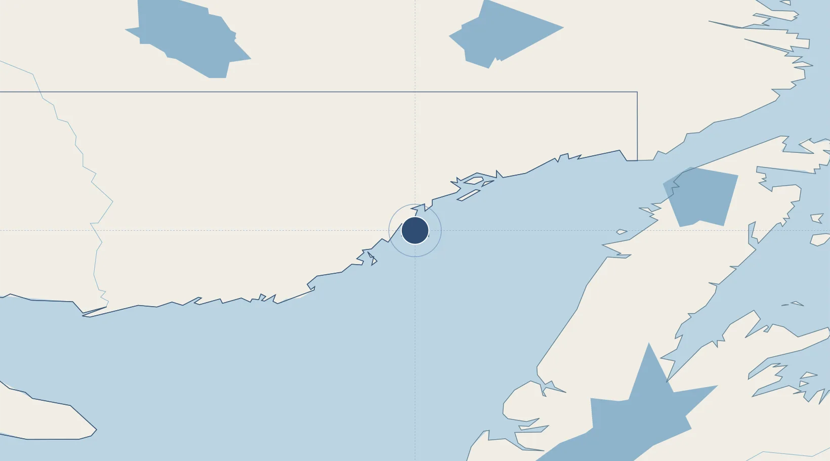
Location
Nearby Logistics Neighbours
Airports
- 1Tête-à-la-Baleine Airport34 km
- 2St Augustin Airport48 km
- 3Chevery Airport62 km
- 4La Romaine Airport136 km
- 5Lourdes-de-Blanc-Sablon Airport142 km
Cities
- 1Saint-Augustin50 km
- 2Daniels Harbour119 km
- 3Cow Head134 km
- 4L'Anse-au-Loup168 km
- 5Lomond176 km
Ports
- 1Blanc Sablon144 km
- 2Roddickton200 km
- 3Baie Verte222 km
- 4Corner Brook222 km
- 5St Anthony245 km
Trade Zones
- 1Crossroads Business Park378 km
- 2Cape Breton Regional Municipality Foreign Trade Zone535 km
- 3Halifax Gateway768 km
- 4FTZ No. 179 Madawaska788 km
- 5Saint John811 km
DatabookThe Record of Consolidated Knowledge
Canada beyond logistics?