Transport Functions
Port
Road
Hub Profile
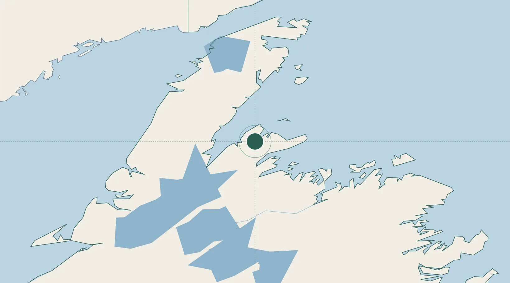
Place type
Populated place
Region
Newfoundland and Labrador
Population
1,311
Time zone
America/St_Johns
Elevation
4 m
Location
Nearby Logistics Neighbours
Cities
- 1Tilt Cove41 km
- 2Jackson Arm45 km
- 3Springdale49 km
- 4Hampden65 km
- 5Botwood104 km
Ports
- 1Springdale47 km
- 2Roddickton106 km
- 3Twillingate106 km
- 4Botwood107 km
- 5Lewisporte110 km
Airports
- 1Deer Lake Airport118 km
- 2Fogo Airport143 km
- 3Gander International Airport160 km
- 4St. Anthony Airport164 km
- 5Lourdes-de-Blanc-Sablon Airport184 km
Trade Zones
- 1Crossroads Business Park159 km
- 2Cape Breton Regional Municipality Foreign Trade Zone538 km
- 3Halifax Gateway808 km
- 4Saint John902 km
- 5FTZ No. 179 Madawaska940 km
DatabookThe Record of Consolidated Knowledge
Canada beyond logistics?