Channel & Berth Profile
Pilotage, Tugs & Services
Pilotage compulsoryNO
Pilotage availableYES
MedicalYES
Facilities & Capabilities
Container—
Ro-Ro—
Liquid bulk—
Dry bulk—
Oil terminal—
Break bulkYES
Dry dock—
Repairs—
Bunkering—
Rail link—
Dangerous cargo—
ISPS security—
Harbour Specifications
Water body
North Atlantic Ocean
Tidal range
1.7 m
Pilotage
No
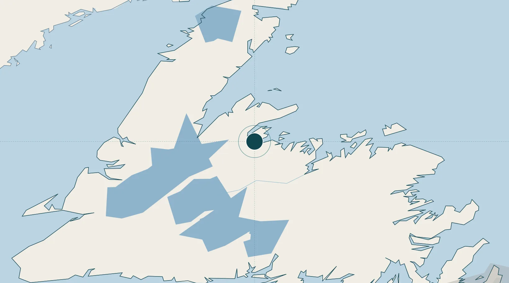
Location
Nearby Logistics Neighbours
Ports
- 1Baie Verte47 km
- 2Botwood67 km
- 3Lewisporte79 km
- 4Twillingate95 km
- 5Carmanville131 km
Cities
- 1Baie Verte47 km
- 2Tilt Cove54 km
- 3Hampden58 km
- 4Botwood64 km
- 5Jackson Arm67 km
Airports
- 1Deer Lake Airport102 km
- 2Gander International Airport126 km
- 3Fogo Airport133 km
- 4Stephenville Dymond International Airport210 km
- 5St. Anthony Airport210 km
Trade Zones
- 1Crossroads Business Park125 km
- 2Cape Breton Regional Municipality Foreign Trade Zone509 km
- 3Halifax Gateway783 km
- 4Saint John886 km
- 5FTZ No. 179 Madawaska938 km
DatabookThe Record of Consolidated Knowledge
Canada beyond logistics?