UN/LOCODE hub · Canada
CAJAC

Jackson Arm

49.8667°, -56.8000°
2
Transport functions

Transport Functions

Port
Road
UN/LOCODE

Hub Profile

Region
NL
GeoNames

Location

Location of CAJAC
Natural Earth 10m (public domain) · NL · CAJAC · 49.87, -56.80GoogleOSMYandex

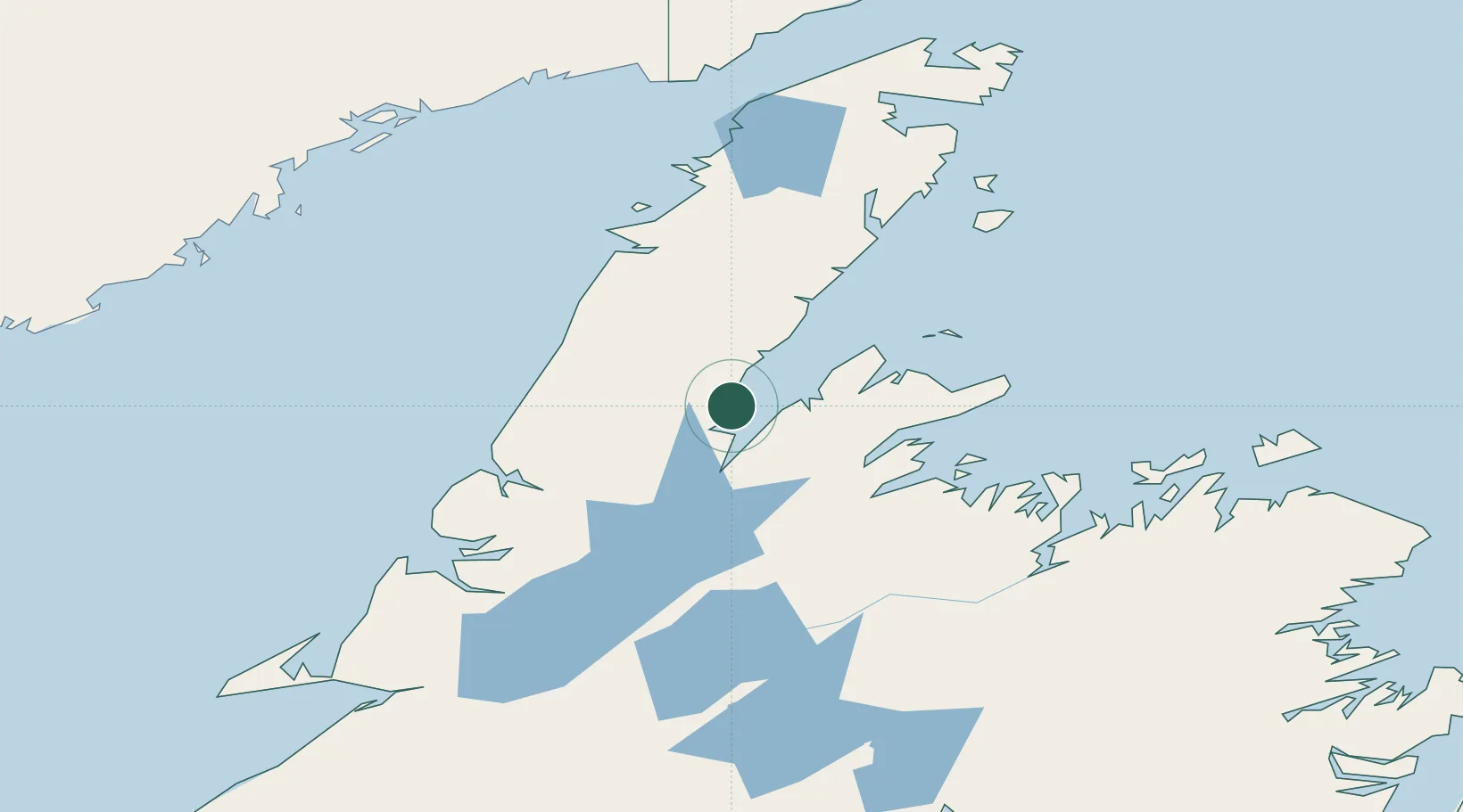
Nearby Logistics Neighbours

Cities
  1. 1Hampden37 km
  2. 2Baie Verte45 km
  3. 3Springdale66 km
  4. 4Daniels Harbour69 km
  5. 5Cow Head71 km
Nearest neighbours — logibook spatial index (haversine) over the source coordinates
Ports
  1. 1Baie Verte43 km
  2. 2Springdale67 km
  3. 3Roddickton121 km
  4. 4Corner Brook132 km
  5. 5Botwood134 km
Nearest neighbours — logibook spatial index (haversine) over the source coordinates
Airports
  1. 1Deer Lake Airport85 km
  2. 2St. Anthony Airport177 km
  3. 3Lourdes-de-Blanc-Sablon Airport177 km
  4. 4Fogo Airport186 km
  5. 5La Tabatière Airport188 km
Nearest neighbours — logibook spatial index (haversine) over the source coordinates
Trade Zones
  1. 1Crossroads Business Park191 km
  2. 2Cape Breton Regional Municipality Foreign Trade Zone505 km
  3. 3Halifax Gateway773 km
  4. 4Saint John862 km
  5. 5FTZ No. 179 Madawaska895 km
Nearest neighbours — logibook spatial index (haversine) over the source coordinates
DatabookThe Record of Consolidated Knowledge
Canada beyond logistics?
Browse databook

All Sources

LocationsUN/LOCODE
UN/LOCODE — free
Portsthe NGA World Port Index
Public domain (US gov)
AirportsOurAirports
Public domain
Trade Zonesthe World Bank SEZ database
CC BY 4.0
Trade ZonesOpen Zone Map
CC BY
← Canada locations