Channel & Berth Profile
Pilotage, Tugs & Services
Potable waterYES
Diesel bunkersYES
MedicalYES
Facilities & Capabilities
Container—
Ro-Ro—
Liquid bulk—
Dry bulkYES
Oil terminal—
Break bulkYES
Dry dock—
Repairs—
BunkeringYES
Rail link—
Dangerous cargo—
ISPS security—
Harbour Specifications
Water body
North Atlantic Ocean
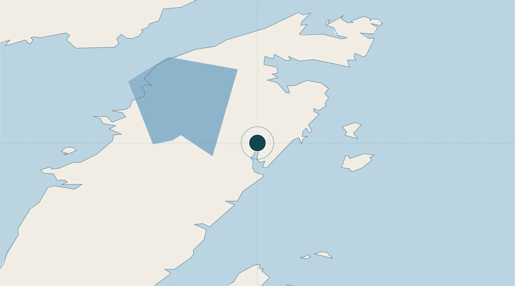
Location
Nearby Logistics Neighbours
Ports
- 1St Anthony68 km
- 2Blanc Sablon93 km
- 3Baie Verte106 km
- 4Springdale152 km
- 5Twillingate167 km
Cities
- 1Main Brook36 km
- 2Saint-Anthony69 km
- 3L'Anse-au-Loup87 km
- 4Red Bay98 km
- 5Baie Verte106 km
Airports
- 1St. Anthony Airport59 km
- 2Lourdes-de-Blanc-Sablon Airport98 km
- 3Mary's Harbour Airport161 km
- 4St. Lewis (Fox Harbour) Airport171 km
- 5St Augustin Airport181 km
Trade Zones
- 1Crossroads Business Park241 km
- 2Cape Breton Regional Municipality Foreign Trade Zone623 km
- 3Halifax Gateway887 km
- 4Saint John964 km
- 5FTZ No. 179 Madawaska973 km
DatabookThe Record of Consolidated Knowledge
Canada beyond logistics?